Distance to Howland, Texas

Calculating Your Route
Just a moment while we process your request...
Location Information
-
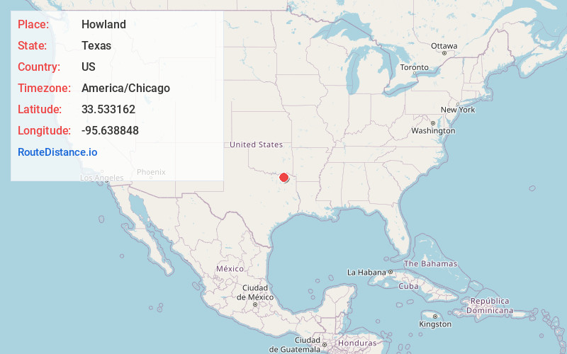
Full AddressHowland, TX 75460
-
Coordinates33.5331622, -95.6388477
-
LocationHowland , Texas , US
-
TimezoneAmerica/Chicago
-
Current Local Time12:26:39 AM America/ChicagoFriday, June 20, 2025
-
Page Views0
Nearby Places
Found 10 places within 50 miles

Atlas
2.8 mi
4.5 km
Atlas, TX 75460
Get directions
Mt Joy Crossing
3.6 mi
5.8 km
Mt Joy Crossing, TX 75432
Get directions
Ambia
4.3 mi
6.9 km
Ambia, TX 75460
Get directions
Roxton
5.1 mi
8.2 km
Roxton, TX 75477
Get directions
Enloe
7.0 mi
11.3 km
Enloe, TX
Get directions
Brookston
7.1 mi
11.4 km
Brookston, TX 75421
Get directions
Biardstown
7.7 mi
12.4 km
Biardstown, TX 75462
Get directions
Prattville
8.1 mi
13.0 km
Prattville, TX 75432
Get directions
Toco
8.4 mi
13.5 km
Toco, TX 75421
Get directions
Ben Franklin
8.4 mi
13.5 km
Ben Franklin, TX 75415
Get directions
Location Links
Local Weather
Weather Information
Coming soon!
Location Map
Static map view of Howland, Texas
Browse Places by Distance
Places within specific distances from Howland
Short Distances
Long Distances
Click any distance to see all places within that range from Howland. Distances shown in miles (1 mile ≈ 1.61 kilometers).