Distance to Howton, Alabama

Calculating Your Route
Just a moment while we process your request...
Location Information
-
Full AddressHowton, Brookwood, AL 35444
-
Coordinates33.2590053, -87.3402786
-
LocationBrookwood , Alabama , US
-
TimezoneAmerica/Chicago
-
Current Local Time12:07:04 AM America/ChicagoFriday, June 20, 2025
-
Page Views0
Nearby Places
Found 10 places within 50 miles

Brookwood
1.1 mi
1.8 km
Brookwood, AL
Get directions

Hurricane Creek
3.0 mi
4.8 km
Hurricane Creek, Alabama
Get directions
Searles
4.6 mi
7.4 km
Searles, AL 35444
Get directions
Peterson
5.1 mi
8.2 km
Peterson, AL 35453
Get directions
Cedar Cove
5.9 mi
9.5 km
Cedar Cove, AL 35453
Get directions
Burchfield
6.4 mi
10.3 km
Burchfield, AL 35444
Get directions
Coaling
6.9 mi
11.1 km
Coaling, AL
Get directions

Cottondale
7.8 mi
12.6 km
Cottondale, AL
Get directions
Summerfield
7.9 mi
12.7 km
Summerfield, Tuscaloosa, AL 35404
Get directions
Clearview Hills
8.5 mi
13.7 km
Clearview Hills, Cottondale, AL 35453
Get directions
Location Links
Local Weather
Weather Information
Coming soon!
Location Map
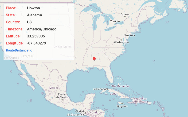
Static map view of Howton, Alabama
Browse Places by Distance
Places within specific distances from Howton
Short Distances
Long Distances
Click any distance to see all places within that range from Howton. Distances shown in miles (1 mile ≈ 1.61 kilometers).