Distance to and from Hudgins, Virginia
Hudgins, VA 23076
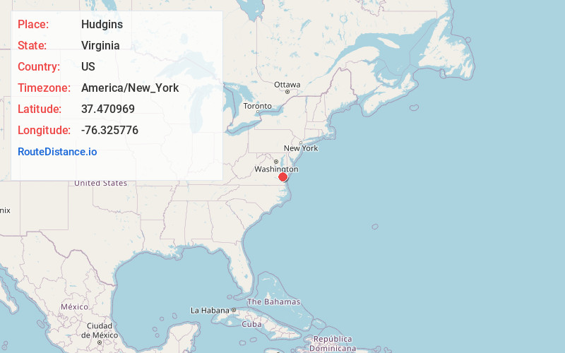
Hudgins
Virginia
US
America/New_York
Location Information
-
Full AddressHudgins, VA 23076
-
Coordinates37.4709685, -76.3257762
-
LocationHudgins , Virginia , US
-
TimezoneAmerica/New_York
-
Current Local Time3:32:38 PM America/New_YorkSaturday, May 3, 2025
-
Page Views0
Directions to Nearest Cities
About Hudgins
Hudgins is an unincorporated community in northern Mathews County, Virginia, United States. It lies north of the community of Mathews, the county seat of Mathews County. Its elevation is 10 feet. Although Hudgins is unincorporated, it has a post office, with the ZIP Code of 23076.
Nearby Places
Found 10 places within 50 miles

Cricket Hill
1.2 mi
1.9 km
Cricket Hill, VA 23076
Get directions
Hallieford
1.8 mi
2.9 km
Hallieford, VA 23068
Get directions
Fitchetts
2.1 mi
3.4 km
Fitchetts, VA 23119
Get directions

Mathews
2.4 mi
3.9 km
Mathews, VA 23109
Get directions

Blakes
3.0 mi
4.8 km
Blakes, VA 23035
Get directions
Gwynn
3.4 mi
5.5 km
Gwynn, VA
Get directions
Foster
3.5 mi
5.6 km
Foster, VA 23056
Get directions
Ruff
4.3 mi
6.9 km
Ruff, VA 23109
Get directions
Beaverlett
4.6 mi
7.4 km
Beaverlett, VA 23109
Get directions
Cobbs Creek
4.6 mi
7.4 km
Cobbs Creek, VA 23035
Get directions
Cricket Hill
1.2 mi
1.9 km
Cricket Hill, VA 23076
Hallieford
1.8 mi
2.9 km
Hallieford, VA 23068
Fitchetts
2.1 mi
3.4 km
Fitchetts, VA 23119
Mathews
2.4 mi
3.9 km
Mathews, VA 23109
Blakes
3.0 mi
4.8 km
Blakes, VA 23035
Gwynn
3.4 mi
5.5 km
Gwynn, VA
Foster
3.5 mi
5.6 km
Foster, VA 23056
Ruff
4.3 mi
6.9 km
Ruff, VA 23109
Beaverlett
4.6 mi
7.4 km
Beaverlett, VA 23109
Cobbs Creek
4.6 mi
7.4 km
Cobbs Creek, VA 23035
Location Links
Local Weather
Weather Information
Coming soon!
Location Map
Static map view of Hudgins, Virginia
Browse Places by Distance
Places within specific distances from Hudgins
Short Distances
Long Distances
Click any distance to see all places within that range from Hudgins. Distances shown in miles (1 mile ≈ 1.61 kilometers).