Distance to Hulen, Oklahoma

Calculating Your Route
Just a moment while we process your request...
Location Information
-
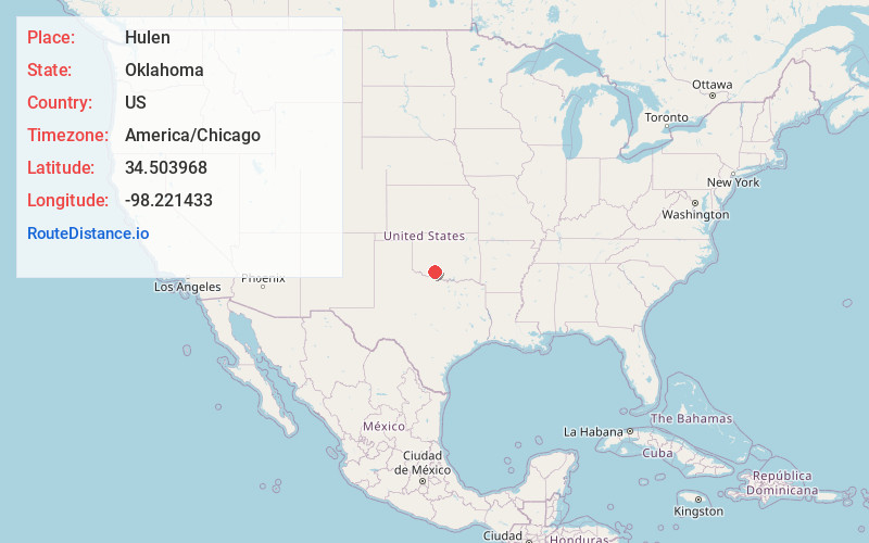
Full AddressHulen, OK 73572
-
Coordinates34.503968, -98.2214332
-
LocationOklahoma , US
-
TimezoneAmerica/Chicago
-
Current Local Time12:34:56 AM America/ChicagoThursday, June 19, 2025
-
Page Views0
About Hulen
Hulen is an unincorporated community in northeast Cotton County, Oklahoma, United States. The community is just south of the Cotton-Comanche county line on Oklahoma State Highway 65 15 miles north of Temple. Lawton is approximately 12 miles to the northwest. The community is at an elevation of 1,083 feet.
Nearby Places
Found 10 places within 50 miles

Letitia
5.2 mi
8.4 km
Letitia, OK 73501
Get directions
Pumpkin Center
6.2 mi
10.0 km
Pumpkin Center, OK 73501
Get directions
Geronimo
9.3 mi
15.0 km
Geronimo, OK 73543
Get directions

Central High
10.4 mi
16.7 km
Central High, OK
Get directions

Walters
11.1 mi
17.9 km
Walters, OK 73572
Get directions
Corum
11.9 mi
19.2 km
Corum, OK 73529
Get directions

Lawton
12.1 mi
19.5 km
Lawton, OK
Get directions

Empire City
12.5 mi
20.1 km
Empire City, OK
Get directions
Denton
12.5 mi
20.1 km
Denton, Central High, OK 73055
Get directions
Sneed Acres
13.3 mi
21.4 km
Sneed Acres, Lawton, OK 73507
Get directions
Location Links
Local Weather
Weather Information
Coming soon!
Location Map
Static map view of Hulen, Oklahoma
Browse Places by Distance
Places within specific distances from Hulen
Short Distances
Long Distances
Click any distance to see all places within that range from Hulen. Distances shown in miles (1 mile ≈ 1.61 kilometers).