Distance to Humboldt, Kansas

Calculating Your Route
Just a moment while we process your request...
Location Information
-
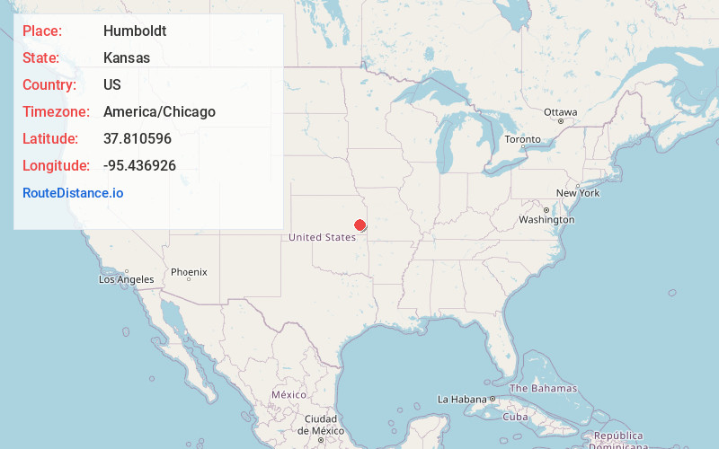
Full AddressHumboldt, KS 66748
-
Coordinates37.8105961, -95.4369264
-
LocationHumboldt , Kansas , US
-
TimezoneAmerica/Chicago
-
Current Local Time6:38:27 AM America/ChicagoSunday, June 29, 2025
-
Website
-
Page Views0
About Humboldt
Humboldt is a city in Allen County, Kansas, United States. It is situated along the Neosho River. As of the 2020 census, the population of the city was 1,847.
Nearby Places
Found 10 places within 50 miles

Iola
8.1 mi
13.0 km
Iola, KS 66749
Get directions

Chanute
9.1 mi
14.6 km
Chanute, KS 66720
Get directions

Fredonia
28.6 mi
46.0 km
Fredonia, KS 66736
Get directions

Neodesha
30.2 mi
48.6 km
Neodesha, KS 66757
Get directions

Burlington
31.3 mi
50.4 km
Burlington, KS 66839
Get directions

Parsons
33.9 mi
54.6 km
Parsons, KS
Get directions

Garnett
34.2 mi
55.0 km
Garnett, KS 66032
Get directions

Cherryvale
37.9 mi
61.0 km
Cherryvale, KS 67335
Get directions

Girard
38.7 mi
62.3 km
Girard, KS 66743
Get directions

Fort Scott
39.8 mi
64.1 km
Fort Scott, KS 66701
Get directions
Location Links
Local Weather
Weather Information
Coming soon!
Location Map
Static map view of Humboldt, Kansas
Browse Places by Distance
Places within specific distances from Humboldt
Short Distances
Long Distances
Click any distance to see all places within that range from Humboldt. Distances shown in miles (1 mile ≈ 1.61 kilometers).