Distance to and from Imlaystown, New Jersey
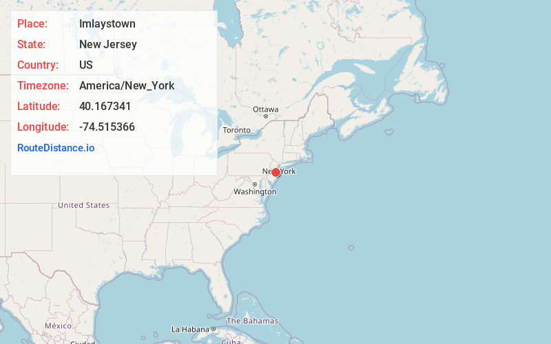
Imlaystown, Upper Freehold, NJ 08501
Upper Freehold
New Jersey
US
America/New_York
Location Information
-
Full AddressImlaystown, Upper Freehold, NJ 08501
-
Coordinates40.1673414, -74.5153659
-
NeighborhoodImlaystown
-
LocationUpper Freehold , New Jersey , US
-
TimezoneAmerica/New_York
-
Current Local Time2:46:23 PM America/New_YorkSaturday, May 3, 2025
-
Page Views0
Directions to Nearest Cities
Upper Freehold
Upper Freehold, NJ
1.7 mi
Pullentown
Pullentown, Upper Freehold, NJ 08501
1.7 mi
Polhemustown
Polhemustown, Upper Freehold, NJ 08501
2.1 mi
Stone Tavern Lake
Stone Tavern Lake, Upper Freehold, NJ
2.6 mi
Walnford
Walnford, Upper Freehold, NJ 08501
3.3 mi
Allentown
Allentown, NJ 08501
3.7 mi
About Imlaystown
Imlaystown is an unincorporated community located along County Route 43 and Davis Station Road within Upper Freehold Township in Monmouth County in the U.S. state of New Jersey. It is located in ZIP code 08526. The community is accessible from Exit 11 of Interstate 195.

Nearby Places
Found 10 places within 50 miles

Upper Freehold
1.7 mi
2.7 km
Upper Freehold, NJ
Get directions

Pullentown
1.7 mi
2.7 km
Pullentown, Upper Freehold, NJ 08501
Get directions
Polhemustown
2.1 mi
3.4 km
Polhemustown, Upper Freehold, NJ 08501
Get directions

Stone Tavern Lake
2.6 mi
4.2 km
Stone Tavern Lake, Upper Freehold, NJ
Get directions
Walnford
3.3 mi
5.3 km
Walnford, Upper Freehold, NJ 08501
Get directions

Allentown
3.7 mi
6.0 km
Allentown, NJ 08501
Get directions

Roosevelt
3.8 mi
6.1 km
Roosevelt, NJ
Get directions
Ellisdale
4.4 mi
7.1 km
Ellisdale, Upper Freehold, NJ 08501
Get directions
Spring Mill
4.6 mi
7.4 km
Spring Mill, Upper Freehold, NJ 08501
Get directions
Burkesville
5.0 mi
8.0 km
Burkesville, Jackson Township, NJ 08527
Get directions
Upper Freehold
1.7 mi
2.7 km
Upper Freehold, NJ
Pullentown
1.7 mi
2.7 km
Pullentown, Upper Freehold, NJ 08501
Polhemustown
2.1 mi
3.4 km
Polhemustown, Upper Freehold, NJ 08501
Stone Tavern Lake
2.6 mi
4.2 km
Stone Tavern Lake, Upper Freehold, NJ
Walnford
3.3 mi
5.3 km
Walnford, Upper Freehold, NJ 08501
Allentown
3.7 mi
6.0 km
Allentown, NJ 08501
Roosevelt
3.8 mi
6.1 km
Roosevelt, NJ
Ellisdale
4.4 mi
7.1 km
Ellisdale, Upper Freehold, NJ 08501
Spring Mill
4.6 mi
7.4 km
Spring Mill, Upper Freehold, NJ 08501
Burkesville
5.0 mi
8.0 km
Burkesville, Jackson Township, NJ 08527
Location Links
Local Weather
Weather Information
Coming soon!
Location Map
Static map view of Imlaystown, New Jersey
Browse Places by Distance
Places within specific distances from Imlaystown
Short Distances
Long Distances
Click any distance to see all places within that range from Imlaystown. Distances shown in miles (1 mile ≈ 1.61 kilometers).