Distance to Independence, Oklahoma

Calculating Your Route
Just a moment while we process your request...
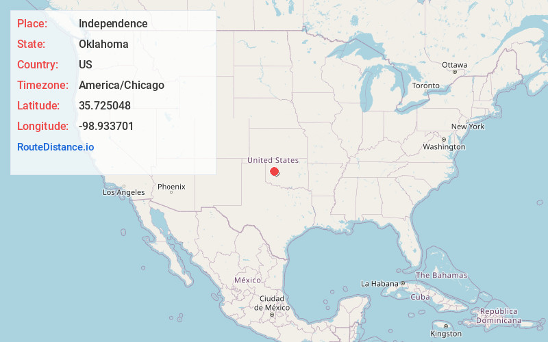
Location Information
-
Full AddressIndependence, OK 73639
-
Coordinates35.725048, -98.9337012
-
LocationOklahoma , US
-
TimezoneAmerica/Chicago
-
Current Local Time12:38:07 AM America/ChicagoThursday, June 19, 2025
-
Page Views0
About Independence
Independence is a ghost town in Custer County, Oklahoma, United States. It was one of two communities established on the Cheyenne and Arapaho reservations before those reservations were opened to settlement in 1892. Independence had a post office from October 5, 1892, to July 15, 1922.
Nearby Places
Found 10 places within 50 miles

Anthon
4.6 mi
7.4 km
Anthon, OK 73639
Get directions

Custer City
5.0 mi
8.0 km
Custer City, OK 73639
Get directions

Putnam
9.2 mi
14.8 km
Putnam, OK
Get directions

Arapaho
10.3 mi
16.6 km
Arapaho, OK 73620
Get directions

Thomas
10.5 mi
16.9 km
Thomas, OK 73669
Get directions
Burmah
10.6 mi
17.1 km
Burmah, OK 73659
Get directions
Aledo
12.8 mi
20.6 km
Aledo, OK 73654
Get directions

Clinton
14.6 mi
23.5 km
Clinton, OK
Get directions

Butler
15.4 mi
24.8 km
Butler, OK 73625
Get directions
Ralph
15.6 mi
25.1 km
Ralph, OK 73601
Get directions
Location Links
Local Weather
Weather Information
Coming soon!
Location Map
Static map view of Independence, Oklahoma
Browse Places by Distance
Places within specific distances from Independence
Short Distances
Long Distances
Click any distance to see all places within that range from Independence. Distances shown in miles (1 mile ≈ 1.61 kilometers).