Distance to India, Texas

Calculating Your Route
Just a moment while we process your request...
Location Information
-
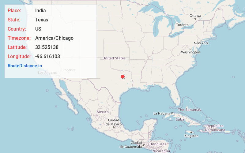
Full AddressIndia, TX 75125
-
Coordinates32.5251375, -96.6161027
-
LocationTexas , US
-
TimezoneAmerica/Chicago
-
Current Local Time6:50:28 PM America/ChicagoSunday, June 22, 2025
-
Page Views0
About India
India is an unincorporated community in Ellis County, Texas, United States. An old variant name was Morgan. Not to be confused with India, as in the country.
Nearby Places
Found 10 places within 50 miles

Ferris
2.9 mi
4.7 km
Ferris, TX
Get directions

Patrick
3.5 mi
5.6 km
Patrick, TX 75125
Get directions

Wilmer
6.5 mi
10.5 km
Wilmer, TX
Get directions

Palmer
7.2 mi
11.6 km
Palmer, TX 75152
Get directions
Combine
7.6 mi
12.2 km
Combine, TX 75159
Get directions

Seagoville
9.1 mi
14.6 km
Seagoville, TX 75159
Get directions

Lancaster
9.4 mi
15.1 km
Lancaster, TX
Get directions
Sand Lake
9.8 mi
15.8 km
Sand Lake, TX 75119
Get directions

Pecan Hill
10.2 mi
16.4 km
Pecan Hill, TX
Get directions

Hutchins
10.3 mi
16.6 km
Hutchins, TX
Get directions
Location Links
Local Weather
Weather Information
Coming soon!
Location Map
Static map view of India, Texas
Browse Places by Distance
Places within specific distances from India
Short Distances
Long Distances
Click any distance to see all places within that range from India. Distances shown in miles (1 mile ≈ 1.61 kilometers).