Distance to Indiola, Oregon

Calculating Your Route
Just a moment while we process your request...
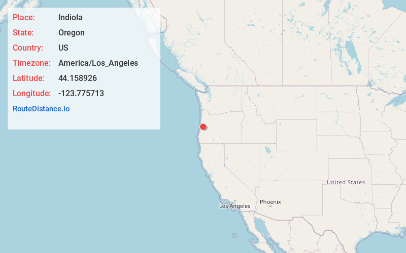
Location Information
-
Full AddressIndiola, OR 97430
-
Coordinates44.1589258, -123.7757133
-
LocationIndiola , Oregon , US
-
TimezoneAmerica/Los_Angeles
-
Current Local Time11:23:56 AM America/Los_AngelesWednesday, June 4, 2025
-
Page Views0
About Indiola
Indiola is an unincorporated community in Lane County, Oregon, United States. It is located on Oregon Route 36 about 10 miles east of its junction with Oregon Route 126 in Mapleton, near the Siuslaw River.
Nearby Places
Found 10 places within 50 miles

Reed
3.6 mi
5.8 km
Reed, OR 97430
Get directions
Alpha
3.7 mi
6.0 km
Alpha, OR 97430
Get directions

Deadwood
4.4 mi
7.1 km
Deadwood, OR 97430
Get directions
Greenleaf
6.2 mi
10.0 km
Greenleaf, OR 97412
Get directions

Rainrock
7.0 mi
11.3 km
Rainrock, OR 97453
Get directions

Swisshome
7.1 mi
11.4 km
Swisshome, OR 97480
Get directions
Brickerville
8.2 mi
13.2 km
Brickerville, OR 97453
Get directions
Fisher
9.7 mi
15.6 km
Fisher, OR 97390
Get directions

Mapleton
9.8 mi
15.8 km
Mapleton, OR 97453
Get directions

Triangle Lake
9.8 mi
15.8 km
Triangle Lake, OR 97412
Get directions
Location Links
Local Weather
Weather Information
Coming soon!
Location Map
Static map view of Indiola, Oregon
Browse Places by Distance
Places within specific distances from Indiola
Short Distances
Long Distances
Click any distance to see all places within that range from Indiola. Distances shown in miles (1 mile ≈ 1.61 kilometers).