Distance to Ingalls, Michigan

Calculating Your Route
Just a moment while we process your request...
Location Information
-
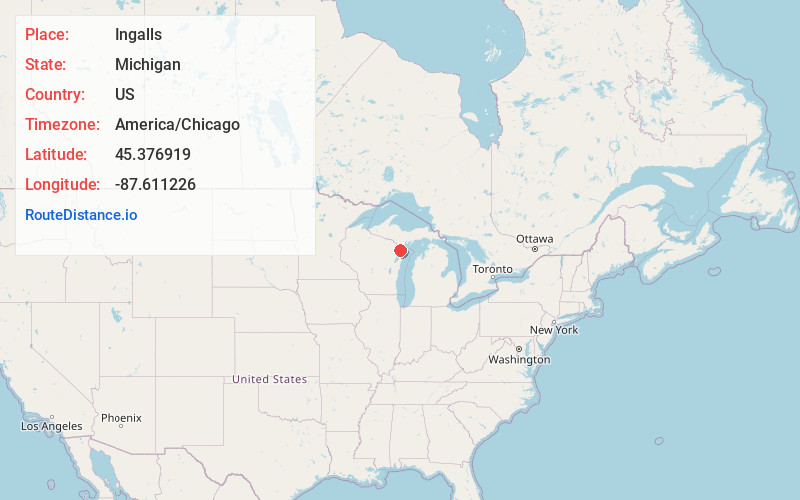
Full AddressIngalls, MI 49848
-
Coordinates45.376919, -87.6112261
-
LocationIngalls , Michigan , US
-
TimezoneAmerica/Chicago
-
Current Local Time3:44:40 AM America/ChicagoThursday, May 22, 2025
-
Page Views0
About Ingalls
Ingalls is an unincorporated community in Menominee County, Michigan, United States. Ingalls is located in Mellen Township along U.S. Highway 41, 2.5 miles south of Stephenson. Ingalls has a post office with ZIP code 49848.


Nearby Places
Found 10 places within 50 miles

Stephenson
2.7 mi
4.3 km
Stephenson, MI 49887
Get directions

Daggett
6.0 mi
9.7 km
Daggett, MI 49821
Get directions
McAllister
6.3 mi
10.1 km
McAllister, WI 54177
Get directions
Banat
10.6 mi
17.1 km
Banat, MI 49821
Get directions

Carney
14.7 mi
23.7 km
Carney, MI 49812
Get directions

Wausaukee
16.6 mi
26.7 km
Wausaukee, WI
Get directions
Fox
16.7 mi
26.9 km
Fox, MI 49887
Get directions

Menominee
18.6 mi
29.9 km
Menominee, MI 49858
Get directions

Marinette
19.2 mi
30.9 km
Marinette, WI 54143
Get directions

Amberg
20.5 mi
33.0 km
Amberg, WI 54102
Get directions
Location Links
Local Weather
Weather Information
Coming soon!
Location Map
Static map view of Ingalls, Michigan
Browse Places by Distance
Places within specific distances from Ingalls
Short Distances
Long Distances
Click any distance to see all places within that range from Ingalls. Distances shown in miles (1 mile ≈ 1.61 kilometers).