Distance to Ino, Wisconsin

Calculating Your Route
Just a moment while we process your request...
Location Information
-
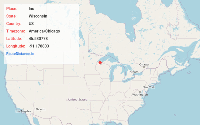
Full AddressIno, WI 54856
-
Coordinates46.5307777, -91.1788026
-
LocationIno , Wisconsin , US
-
TimezoneAmerica/Chicago
-
Current Local Time9:08:50 AM America/ChicagoWednesday, June 18, 2025
-
Page Views0
About Ino
Ino is an unincorporated community in the town of Keystone, Bayfield County, Wisconsin, United States. Ino is located at the junction of U.S. Highway 2, County Highway E, and Forest Road 236. It is 15 miles west of Ashland.
Nearby Places
Found 10 places within 50 miles

Mason
8.7 mi
14.0 km
Mason, WI 54856
Get directions

Iron River
11.1 mi
17.9 km
Iron River, WI 54847
Get directions

Grand View
11.8 mi
19.0 km
Grand View, WI 54839
Get directions
Drummond
13.9 mi
22.4 km
Drummond, WI 54832
Get directions

Ashland
14.6 mi
23.5 km
Ashland, WI
Get directions

Washburn
16.7 mi
26.9 km
Washburn, WI 54891
Get directions
Marengo
18.8 mi
30.3 km
Marengo, WI 54855
Get directions

Brule
19.0 mi
30.6 km
Brule, WI
Get directions

Port Wing
19.6 mi
31.5 km
Port Wing, WI 54865
Get directions
Minersville
20.1 mi
32.3 km
Minersville, WI 54855
Get directions
Location Links
Local Weather
Weather Information
Coming soon!
Location Map
Static map view of Ino, Wisconsin
Browse Places by Distance
Places within specific distances from Ino
Short Distances
Long Distances
Click any distance to see all places within that range from Ino. Distances shown in miles (1 mile ≈ 1.61 kilometers).