Distance to Iron Stab, Georgia

Calculating Your Route
Just a moment while we process your request...
Location Information
-
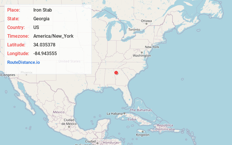
Full AddressIron Stab, GA 30178
-
Coordinates34.0353775, -84.9435547
-
LocationGeorgia , US
-
TimezoneAmerica/New_York
-
Current Local Time3:45:08 AM America/New_YorkWednesday, June 4, 2025
-
Page Views0
Nearby Places
Found 10 places within 50 miles

Braswell
3.4 mi
5.5 km
Braswell, GA
Get directions

Taylorsville
4.3 mi
6.9 km
Taylorsville, GA
Get directions

Rockmart
6.1 mi
9.8 km
Rockmart, GA 30153
Get directions

Aragon
6.5 mi
10.5 km
Aragon, GA
Get directions

Euharlee
7.6 mi
12.2 km
Euharlee, GA
Get directions

Yorkville Mine
8.2 mi
13.2 km
Yorkville Mine, Georgia 30157
Get directions

Dallas
9.6 mi
15.4 km
Dallas, GA
Get directions

Cartersville
12.2 mi
19.6 km
Cartersville, GA
Get directions

Emerson
12.6 mi
20.3 km
Emerson, GA
Get directions
Antioch
13.7 mi
22.0 km
Antioch, GA 30153
Get directions
Location Links
Local Weather
Weather Information
Coming soon!
Location Map
Static map view of Iron Stab, Georgia
Browse Places by Distance
Places within specific distances from Iron Stab
Short Distances
Long Distances
Click any distance to see all places within that range from Iron Stab. Distances shown in miles (1 mile ≈ 1.61 kilometers).