Distance to Irwindale, California

Calculating Your Route
Just a moment while we process your request...
Location Information
-
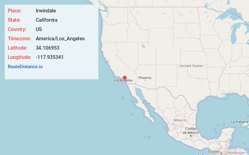
Full AddressIrwindale, CA
-
Coordinates34.1069527, -117.9353413
-
LocationIrwindale , California , US
-
TimezoneAmerica/Los_Angeles
-
Current Local Time11:27:37 AM America/Los_AngelesTuesday, June 24, 2025
-
Website
-
Page Views0
About Irwindale
Irwindale is a city in the San Gabriel Valley, in Los Angeles County, California. The population was 1,472 at the 2020 census, 1,422 at the 2010 census. The ZIP Codes serving the area are 91010, which is shared with Duarte, 91702, which is shared with Azusa, and 91706, which is shared with Baldwin Park.


Nearby Places
Found 10 places within 50 miles

Vincent
0.9 mi
1.4 km
Vincent, CA
Get directions

Baldwin Park
2.1 mi
3.4 km
Baldwin Park, CA
Get directions

Azusa
2.4 mi
3.9 km
Azusa, CA
Get directions

Citrus
2.6 mi
4.2 km
Citrus, CA
Get directions

West Covina
2.7 mi
4.3 km
West Covina, CA
Get directions

Covina
2.8 mi
4.5 km
Covina, CA
Get directions

Duarte
3.3 mi
5.3 km
Duarte, CA 91010
Get directions

South Monrovia Island
3.7 mi
6.0 km
South Monrovia Island, CA
Get directions

Valinda
4.3 mi
6.9 km
Valinda, CA
Get directions
Mayflower Village
4.3 mi
6.9 km
Mayflower Village, CA
Get directions
Location Links
Local Weather
Weather Information
Coming soon!
Location Map
Static map view of Irwindale, California
Browse Places by Distance
Places within specific distances from Irwindale
Short Distances
Long Distances
Click any distance to see all places within that range from Irwindale. Distances shown in miles (1 mile ≈ 1.61 kilometers).