Distance to Mayflower Village, California

Calculating Your Route
Just a moment while we process your request...
Location Information
-
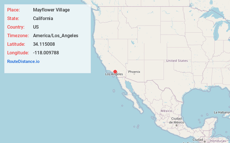
Full AddressMayflower Village, CA
-
Coordinates34.1150078, -118.0097884
-
LocationMayflower Village , California , US
-
TimezoneAmerica/Los_Angeles
-
Current Local Time1:05:28 PM America/Los_AngelesWednesday, June 18, 2025
-
Page Views0
About Mayflower Village
Mayflower Village is a census-designated place in the San Gabriel Valley, in Los Angeles County, California, United States. The population was 5,515 at the 2010 census, up from 5,081 at the 2000 census. The ZIP Codes serving the community are 91006, which is served by Arcadia and 91016, which is served by Monrovia.
Nearby Places
Found 10 places within 50 miles

South Monrovia Island
0.8 mi
1.3 km
South Monrovia Island, CA
Get directions

Monrovia
2.1 mi
3.4 km
Monrovia, CA
Get directions

Arcadia
2.2 mi
3.5 km
Arcadia, CA
Get directions

Duarte
2.5 mi
4.0 km
Duarte, CA 91010
Get directions

Temple City
2.8 mi
4.5 km
Temple City, CA
Get directions

El Monte
3.2 mi
5.1 km
El Monte, CA
Get directions

Baldwin Park
3.5 mi
5.6 km
Baldwin Park, CA
Get directions

East Pasadena
4.0 mi
6.4 km
East Pasadena, CA 91107
Get directions
East San Gabriel
4.0 mi
6.4 km
East San Gabriel, CA
Get directions

Sierra Madre
4.1 mi
6.6 km
Sierra Madre, CA 91024
Get directions
Location Links
Local Weather
Weather Information
Coming soon!
Location Map
Static map view of Mayflower Village, California
Browse Places by Distance
Places within specific distances from Mayflower Village
Short Distances
Long Distances
Click any distance to see all places within that range from Mayflower Village. Distances shown in miles (1 mile ≈ 1.61 kilometers).