Distance to Temple City, California

Calculating Your Route
Just a moment while we process your request...
Location Information
-
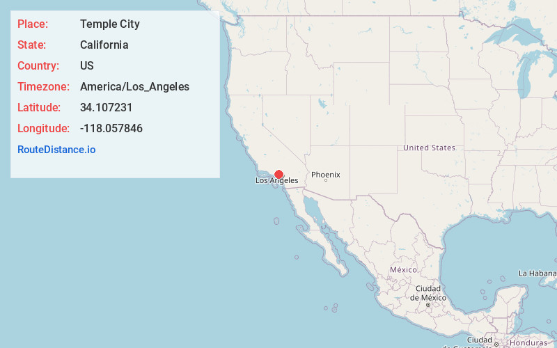
Full AddressTemple City, CA
-
Coordinates34.1072305, -118.0578456
-
LocationTemple City , California , US
-
TimezoneAmerica/Los_Angeles
-
Current Local Time5:21:42 PM America/Los_AngelesSunday, June 1, 2025
-
Website
-
Page Views0
About Temple City
Temple City is a city in Los Angeles County, California located northeast of downtown Los Angeles and at the base of the San Gabriel Mountains. Temple City is part of a cluster of cities, along with Pasadena, Arcadia, Alhambra, San Marino, and San Gabriel, in the west San Gabriel Valley.


Nearby Places
Found 10 places within 50 miles

Rosemead
2.0 mi
3.2 km
Rosemead, CA
Get directions

Arcadia
2.6 mi
4.2 km
Arcadia, CA
Get directions

El Monte
2.8 mi
4.5 km
El Monte, CA
Get directions

Alhambra
4.1 mi
6.6 km
Alhambra, CA
Get directions

Monterey Park
4.8 mi
7.7 km
Monterey Park, CA
Get directions

Pasadena
5.7 mi
9.2 km
Pasadena, CA
Get directions

Baldwin Park
5.8 mi
9.3 km
Baldwin Park, CA
Get directions

Montebello
6.9 mi
11.1 km
Montebello, CA
Get directions

Altadena
7.1 mi
11.4 km
Altadena, CA
Get directions

West Covina
7.3 mi
11.7 km
West Covina, CA
Get directions
Location Links
Local Weather
Weather Information
Coming soon!
Location Map
Static map view of Temple City, California
Browse Places by Distance
Places within specific distances from Temple City
Short Distances
Long Distances
Click any distance to see all places within that range from Temple City. Distances shown in miles (1 mile ≈ 1.61 kilometers).