Distance to Isabella, Minnesota

Calculating Your Route
Just a moment while we process your request...
Location Information
-
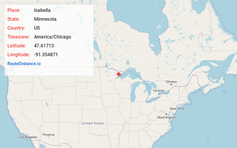
Full AddressIsabella, MN 55607
-
Coordinates47.6171299, -91.3548713
-
LocationIsabella , Minnesota , US
-
TimezoneAmerica/Chicago
-
Current Local Time8:25:37 AM America/ChicagoSaturday, May 31, 2025
-
Page Views0
About Isabella
Isabella is a remote unincorporated community in Stony River Township, Lake County, Minnesota, United States.
The community is located 27 miles north of Silver Bay, and 40 miles southeast of Ely; at the intersection of Minnesota State Highway 1 and Forest Road 172.


Nearby Places
Found 10 places within 50 miles

Murphy City
7.6 mi
12.2 km
Murphy City, MN 55603
Get directions
Jay See Landing
7.6 mi
12.2 km
Jay See Landing, MN 55607
Get directions

Cramer
13.8 mi
22.2 km
Cramer, MN 55603
Get directions
Maple
14.5 mi
23.3 km
Maple, MN 55603
Get directions

Finland
14.9 mi
24.0 km
Finland, MN 55603
Get directions

Little Marais
18.3 mi
29.5 km
Little Marais, MN 55614
Get directions

Lax Lake
19.0 mi
30.6 km
Lax Lake, MN 55614
Get directions
Illgen City
20.2 mi
32.5 km
Illgen City, MN 55614
Get directions

Taconite Harbor
21.4 mi
34.4 km
Taconite Harbor, MN 55613
Get directions

Schroeder
21.9 mi
35.2 km
Schroeder, MN
Get directions
Location Links
Local Weather
Weather Information
Coming soon!
Location Map
Static map view of Isabella, Minnesota
Browse Places by Distance
Places within specific distances from Isabella
Short Distances
Long Distances
Click any distance to see all places within that range from Isabella. Distances shown in miles (1 mile ≈ 1.61 kilometers).