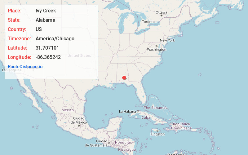
Distance to Ivy Creek, Alabama

Calculating Your Route
Just a moment while we process your request...
Location Information
-
Full AddressIvy Creek, AL 36071
-
Coordinates31.7071013, -86.3652417
-
LocationAlabama , US
-
TimezoneAmerica/Chicago
-
Current Local Time7:42:14 PM America/ChicagoWednesday, July 2, 2025
-
Page Views0
Nearby Places
Found 10 places within 50 miles

Cherokee Village
2.3 mi
3.7 km
Cherokee Village, AL 36071
Get directions
Moodys Crossroads
2.6 mi
4.2 km
Moodys Crossroads, AL 36071
Get directions

Rutledge
3.6 mi
5.8 km
Rutledge, AL
Get directions
Centenary
5.0 mi
8.0 km
Centenary, AL 36049
Get directions

Luverne
6.0 mi
9.7 km
Luverne, AL 36049
Get directions
Vernledge
6.1 mi
9.8 km
Vernledge, AL 36049
Get directions
Center Ridge
8.0 mi
12.9 km
Center Ridge, AL 36049
Get directions
Merrill Mill
8.2 mi
13.2 km
Merrill Mill, AL 36028
Get directions
Fullers Crossroads
8.3 mi
13.4 km
Fullers Crossroads, AL 36049
Get directions
Pigeon Creek
9.0 mi
14.5 km
Pigeon Creek, AL 36037
Get directions
Location Links
Local Weather
Weather Information
Coming soon!
Location Map
Static map view of Ivy Creek, Alabama
Browse Places by Distance
Places within specific distances from Ivy Creek
Short Distances
Long Distances
Click any distance to see all places within that range from Ivy Creek. Distances shown in miles (1 mile ≈ 1.61 kilometers).