Distance to Jamaica, Iowa

Calculating Your Route
Just a moment while we process your request...
Location Information
-
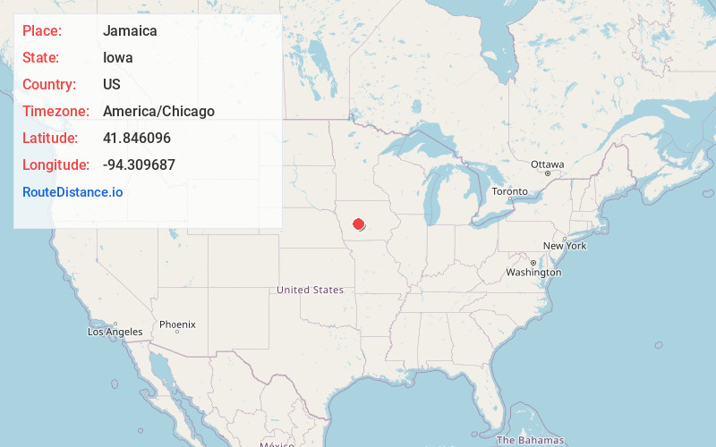
Full AddressJamaica, IA 50128
-
Coordinates41.8460962, -94.3096871
-
LocationJamaica , Iowa , US
-
TimezoneAmerica/Chicago
-
Current Local Time2:32:50 PM America/ChicagoTuesday, June 3, 2025
-
Page Views0
About Jamaica
Jamaica is a city in Guthrie County, Iowa, United States. The population was 195 at the time of the 2020 census. It is part of the Des Moines–West Des Moines Metropolitan Statistical Area.
Nearby Places
Found 10 places within 50 miles

Yale
5.4 mi
8.7 km
Yale, IA 50277
Get directions

Bagley
6.2 mi
10.0 km
Bagley, IA 50026
Get directions

Lake Panorama
10.0 mi
16.1 km
Lake Panorama, Iowa
Get directions

Perry
10.4 mi
16.7 km
Perry, IA 50220
Get directions

Panora
11.0 mi
17.7 km
Panora, IA 50216
Get directions

Jefferson
12.3 mi
19.8 km
Jefferson, IA 50129
Get directions

Bayard
12.8 mi
20.6 km
Bayard, IA 50029
Get directions

Grand Junction
13.3 mi
21.4 km
Grand Junction, IA 50107
Get directions

Guthrie Center
15.4 mi
24.8 km
Guthrie Center, IA
Get directions

Minburn
15.8 mi
25.4 km
Minburn, IA 50167
Get directions
Location Links
Local Weather
Weather Information
Coming soon!
Location Map
Static map view of Jamaica, Iowa
Browse Places by Distance
Places within specific distances from Jamaica
Short Distances
Long Distances
Click any distance to see all places within that range from Jamaica. Distances shown in miles (1 mile ≈ 1.61 kilometers).