Distance to Jamestown, Georgia

Calculating Your Route
Just a moment while we process your request...
Location Information
-
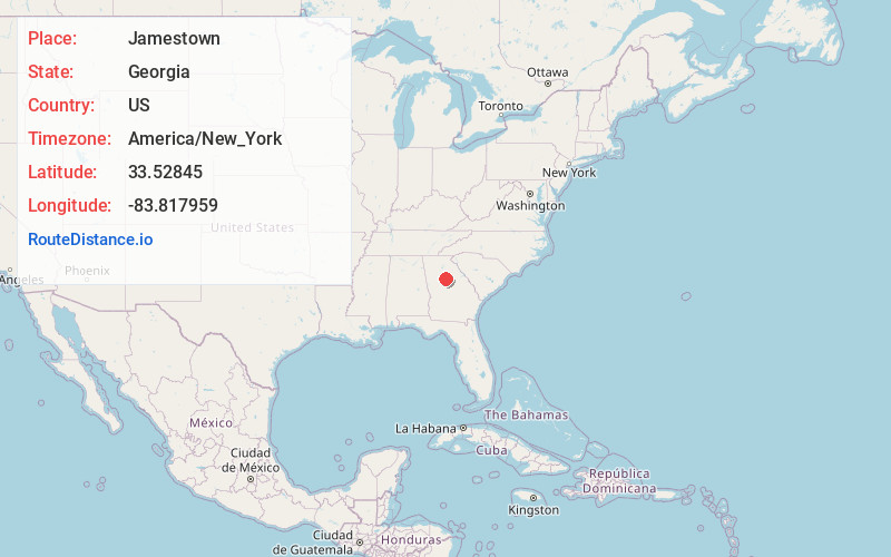
Full AddressJamestown, GA 30014
-
Coordinates33.5284503, -83.8179588
-
LocationJamestown , Georgia , US
-
TimezoneAmerica/New_York
-
Current Local Time11:20:25 PM America/New_YorkThursday, June 19, 2025
-
Page Views0
Nearby Places
Found 10 places within 50 miles

Hayston
3.0 mi
4.8 km
Hayston, GA 30014
Get directions

Mansfield
4.9 mi
7.9 km
Mansfield, GA
Get directions

Covington
5.3 mi
8.5 km
Covington, GA
Get directions

Porterdale
5.4 mi
8.7 km
Porterdale, GA
Get directions
Oxford
6.9 mi
11.1 km
Oxford, GA 30054
Get directions
Newborn
7.1 mi
11.4 km
Newborn, GA 30056
Get directions
Dialtown
8.6 mi
13.8 km
Dialtown, GA 30054
Get directions
Almon
8.7 mi
14.0 km
Almon, GA 30014
Get directions
Pace
9.0 mi
14.5 km
Pace, GA 30016
Get directions
Fairview
9.6 mi
15.4 km
Fairview, GA 30016
Get directions
Location Links
Local Weather
Weather Information
Coming soon!
Location Map
Static map view of Jamestown, Georgia
Browse Places by Distance
Places within specific distances from Jamestown
Short Distances
Long Distances
Click any distance to see all places within that range from Jamestown. Distances shown in miles (1 mile ≈ 1.61 kilometers).