Distance to Oxford, Georgia

Calculating Your Route
Just a moment while we process your request...
Location Information
-
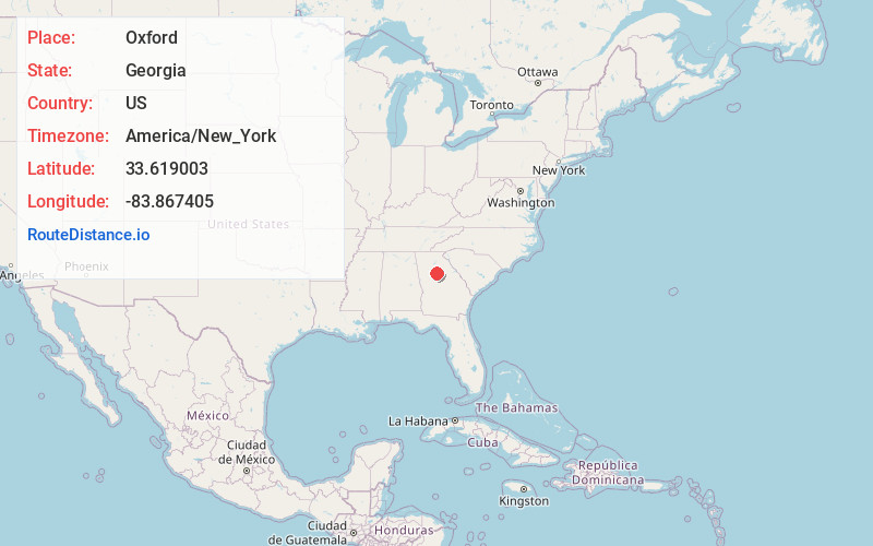
Full AddressOxford, GA 30054
-
Coordinates33.6190031, -83.8674051
-
LocationOxford , Georgia , US
-
TimezoneAmerica/New_York
-
Current Local Time11:53:14 AM America/New_YorkSunday, June 22, 2025
-
Page Views0
About Oxford
Oxford is a city in Newton County, Georgia, United States. The population was 2,308 as of the 2020 census. It is part of the Atlanta metropolitan area.
It is the location of Oxford College of Emory University. Much of the city is part of the Oxford Historic District on the National Register of Historic Places.
Nearby Places
Found 10 places within 50 miles

Covington
1.6 mi
2.6 km
Covington, GA
Get directions

Fairview
4.8 mi
7.7 km
Fairview, GA 30016
Get directions

Social Circle
9.0 mi
14.5 km
Social Circle, GA 30025
Get directions

Conyers
9.3 mi
15.0 km
Conyers, GA
Get directions
Lakeview Estates
11.2 mi
18.0 km
Lakeview Estates, GA 30012
Get directions

Monroe
15.0 mi
24.1 km
Monroe, GA
Get directions

Lithonia
15.1 mi
24.3 km
Lithonia, GA 30058
Get directions

Loganville
15.3 mi
24.6 km
Loganville, GA 30052
Get directions

Snellville
18.7 mi
30.1 km
Snellville, GA
Get directions
Redan
18.8 mi
30.3 km
Redan, GA
Get directions
Location Links
Local Weather
Weather Information
Coming soon!
Location Map
Static map view of Oxford, Georgia
Browse Places by Distance
Places within specific distances from Oxford
Short Distances
Long Distances
Click any distance to see all places within that range from Oxford. Distances shown in miles (1 mile ≈ 1.61 kilometers).