Distance to Jellico, California

Calculating Your Route
Just a moment while we process your request...
Location Information
-
Full AddressJellico, CA
-
Coordinates40.8448862, -121.2927515
-
LocationJellico , California , US
-
TimezoneAmerica/Los_Angeles
-
Current Local Time9:23:22 AM America/Los_AngelesTuesday, June 24, 2025
-
Page Views0
Nearby Places
Found 10 places within 50 miles

Halls Flat
6.4 mi
10.3 km
Halls Flat, CA
Get directions

Little Valley
7.0 mi
11.3 km
Little Valley, CA 96056
Get directions
Dixie
9.4 mi
15.1 km
Dixie, CA 96056
Get directions

Hat Creek
11.6 mi
18.7 km
Hat Creek, CA 96040
Get directions

Fall River Mills
13.4 mi
21.6 km
Fall River Mills, CA 96028
Get directions

Old Station
13.8 mi
22.2 km
Old Station, CA 96071
Get directions
Pittville
14.2 mi
22.9 km
Pittville, CA 96056
Get directions

Cassel
14.7 mi
23.7 km
Cassel, CA 96016
Get directions

McArthur
15.2 mi
24.5 km
McArthur, CA
Get directions

Johnson Park
18.2 mi
29.3 km
Johnson Park, CA 96013
Get directions
Location Links
Local Weather
Weather Information
Coming soon!
Location Map
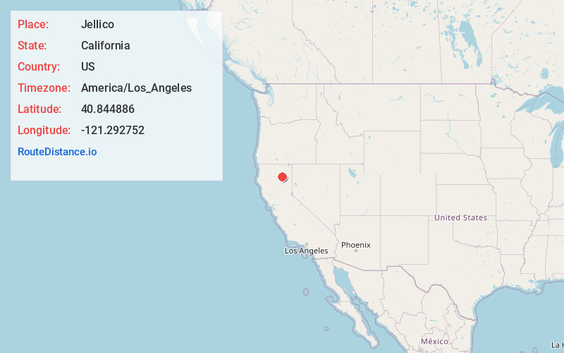
Static map view of Jellico, California
Browse Places by Distance
Places within specific distances from Jellico
Short Distances
Long Distances
Click any distance to see all places within that range from Jellico. Distances shown in miles (1 mile ≈ 1.61 kilometers).