Distance to Old Station, California

Calculating Your Route
Just a moment while we process your request...
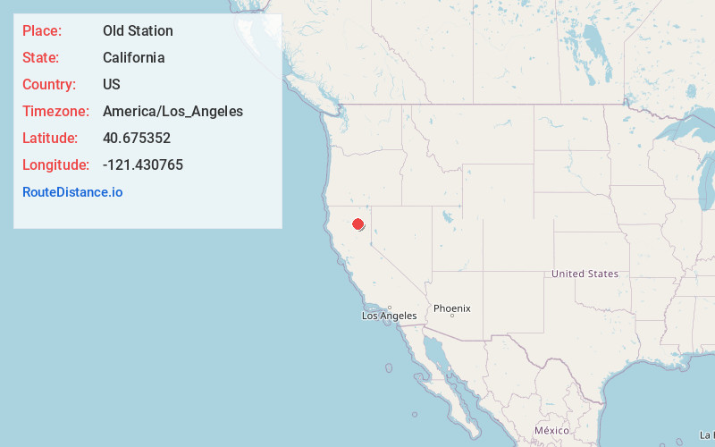
Location Information
-
Full AddressOld Station, CA 96071
-
Coordinates40.6753521, -121.4307646
-
LocationOld Station , California , US
-
TimezoneAmerica/Los_Angeles
-
Current Local Time8:03:03 AM America/Los_AngelesTuesday, June 24, 2025
-
Page Views0
About Old Station
Old Station is a census-designated place in Shasta County, California. It is located 13 miles north of Lassen Volcanic National Park, directly between Redding and Susanville. The ZIP code in Old Station is 96071 and the area code 530. Old Station sits at an elevation of 4,386 feet.


Nearby Places
Found 10 places within 50 miles

Hat Creek
11.6 mi
18.7 km
Hat Creek, CA 96040
Get directions

Cassel
18.0 mi
29.0 km
Cassel, CA 96016
Get directions

Burney
18.7 mi
30.1 km
Burney, CA 96013
Get directions

Johnson Park
19.7 mi
31.7 km
Johnson Park, CA 96013
Get directions

Little Valley
20.1 mi
32.3 km
Little Valley, CA 96056
Get directions

Fall River Mills
22.8 mi
36.7 km
Fall River Mills, CA 96028
Get directions

Mineral
24.2 mi
38.9 km
Mineral, CA
Get directions

Whitmore
25.6 mi
41.2 km
Whitmore, CA 96096
Get directions

McArthur
26.0 mi
41.8 km
McArthur, CA
Get directions

Shingletown
27.1 mi
43.6 km
Shingletown, CA 96088
Get directions
Location Links
Local Weather
Weather Information
Coming soon!
Location Map
Static map view of Old Station, California
Browse Places by Distance
Places within specific distances from Old Station
Short Distances
Long Distances
Click any distance to see all places within that range from Old Station. Distances shown in miles (1 mile ≈ 1.61 kilometers).