Distance to Whitmore, California

Calculating Your Route
Just a moment while we process your request...
Location Information
-
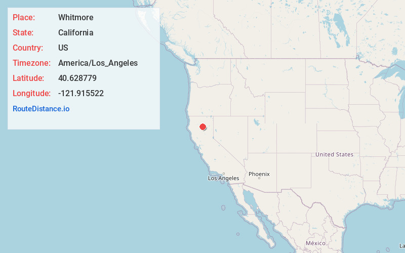
Full AddressWhitmore, CA 96096
-
Coordinates40.6287788, -121.9155218
-
LocationWhitmore , California , US
-
TimezoneAmerica/Los_Angeles
-
Current Local Time9:20:21 AM America/Los_AngelesFriday, May 23, 2025
-
Page Views0
About Whitmore
Whitmore is an unincorporated community and census-designated place in Shasta County, California. Its population is 311 as of the 2020 census.


Nearby Places
Found 10 places within 50 miles

Oak Run
7.2 mi
11.6 km
Oak Run, CA 96069
Get directions

Shingletown
9.5 mi
15.3 km
Shingletown, CA 96088
Get directions

Manton
13.6 mi
21.9 km
Manton, CA
Get directions

Millville
14.3 mi
23.0 km
Millville, CA
Get directions

Palo Cedro
17.6 mi
28.3 km
Palo Cedro, CA
Get directions

Bella Vista
18.5 mi
29.8 km
Bella Vista, CA
Get directions

Burney
22.0 mi
35.4 km
Burney, CA 96013
Get directions

Mountain Gate
22.6 mi
36.4 km
Mountain Gate, CA 96003
Get directions

Anderson
23.6 mi
38.0 km
Anderson, CA 96007
Get directions

Shasta Lake
24.1 mi
38.8 km
Shasta Lake, CA 96019
Get directions
Location Links
Local Weather
Weather Information
Coming soon!
Location Map
Static map view of Whitmore, California
Browse Places by Distance
Places within specific distances from Whitmore
Short Distances
Long Distances
Click any distance to see all places within that range from Whitmore. Distances shown in miles (1 mile ≈ 1.61 kilometers).