Distance to Manton, California

Calculating Your Route
Just a moment while we process your request...
Location Information
-
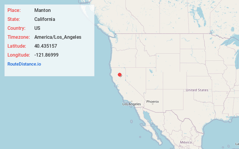
Full AddressManton, CA
-
Coordinates40.4351568, -121.8699903
-
LocationManton , California , US
-
TimezoneAmerica/Los_Angeles
-
Current Local Time9:58:00 AM America/Los_AngelesSunday, June 1, 2025
-
Page Views0
About Manton
Manton is a census-designated place partially in Tehama County, California, United States. It is also in Shasta County. The population in the Tehama County portion was 347 at the 2010 census, down from 372 at the 2000 census.


Nearby Places
Found 10 places within 50 miles

Shingletown
4.1 mi
6.6 km
Shingletown, CA 96088
Get directions

Millville
17.6 mi
28.3 km
Millville, CA
Get directions

Oak Run
19.2 mi
30.9 km
Oak Run, CA 96069
Get directions

Palo Cedro
21.3 mi
34.3 km
Palo Cedro, CA
Get directions

Cottonwood
21.9 mi
35.2 km
Cottonwood, CA 96022
Get directions

Bend
22.1 mi
35.6 km
Bend, CA 96080
Get directions

Anderson
22.5 mi
36.2 km
Anderson, CA 96007
Get directions

Bella Vista
24.9 mi
40.1 km
Bella Vista, CA
Get directions

Red Bluff
26.2 mi
42.2 km
Red Bluff, CA 96080
Get directions

Happy Valley
28.2 mi
45.4 km
Happy Valley, CA 96007
Get directions
Location Links
Local Weather
Weather Information
Coming soon!
Location Map
Static map view of Manton, California
Browse Places by Distance
Places within specific distances from Manton
Short Distances
Long Distances
Click any distance to see all places within that range from Manton. Distances shown in miles (1 mile ≈ 1.61 kilometers).