Distance to Jelloway, Ohio

Calculating Your Route
Just a moment while we process your request...
Location Information
-
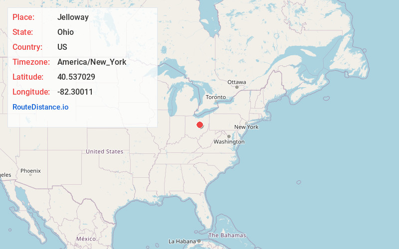
Full AddressJelloway, OH 43014
-
Coordinates40.5370292, -82.3001095
-
LocationJelloway , Ohio , US
-
TimezoneAmerica/New_York
-
Current Local Time4:53:13 PM America/New_YorkSunday, May 25, 2025
-
Page Views0
About Jelloway
Jelloway is an unincorporated community in Jefferson Township, Knox County, Ohio, United States. Jelloway is located at the junction of Ohio State Route 3 and Ohio State Route 205, 14 miles northeast of Mount Vernon.
Nearby Places
Found 10 places within 50 miles

Nunda
3.2 mi
5.1 km
Nunda, Brown Township, OH 44822
Get directions
Spellacy
6.0 mi
9.7 km
Spellacy, Knox Township, OH 44842
Get directions
Amity
6.2 mi
10.0 km
Amity, OH 43050
Get directions

Danville
6.5 mi
10.5 km
Danville, OH 43014
Get directions

Brinkhaven
7.3 mi
11.7 km
Brinkhaven, OH
Get directions

Butler
7.4 mi
11.9 km
Butler, OH 44822
Get directions

Loudonville
7.6 mi
12.2 km
Loudonville, OH 44842
Get directions

Perrysville
8.3 mi
13.4 km
Perrysville, OH 44864
Get directions

Howard
9.0 mi
14.5 km
Howard, OH 43028
Get directions
Gatton Rock
10.2 mi
16.4 km
Gatton Rock, Jefferson Township, OH 44813
Get directions
Location Links
Local Weather
Weather Information
Coming soon!
Location Map
Static map view of Jelloway, Ohio
Browse Places by Distance
Places within specific distances from Jelloway
Short Distances
Long Distances
Click any distance to see all places within that range from Jelloway. Distances shown in miles (1 mile ≈ 1.61 kilometers).