Distance to Jerome, Arizona

Calculating Your Route
Just a moment while we process your request...
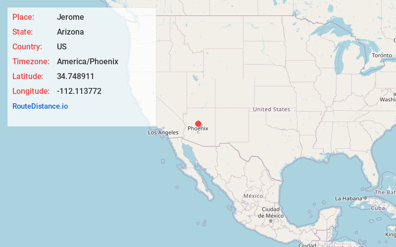
Location Information
-
Full AddressJerome, AZ 86331
-
Coordinates34.7489107, -112.1137716
-
LocationJerome , Arizona , US
-
TimezoneAmerica/Phoenix
-
Current Local Time2:19:25 PM America/PhoenixWednesday, June 18, 2025
-
Page Views0
About Jerome
Jerome is a town in central Arizona. The Mine Museum explores Jerome's history as a booming copper-mining town. Jerome State Historic Park is home to Douglas Mansion, built in 1916 by a mining magnate. Nearby, Audrey Headframe Park has a glass viewing platform over a 1918 mine shaft. Art galleries and small wineries dot the downtown area. To the east, Tuzigoot National Monument preserves an ancient hilltop pueblo.


Nearby Places
Found 10 places within 50 miles

Clarkdale
3.5 mi
5.6 km
Clarkdale, AZ
Get directions

Cottonwood
5.9 mi
9.5 km
Cottonwood, AZ
Get directions

Cottonwood-Verde Village
8.4 mi
13.5 km
Cottonwood-Verde Village, AZ 86326
Get directions

Cornville
11.1 mi
17.9 km
Cornville, AZ 86325
Get directions

Prescott Valley
15.0 mi
24.1 km
Prescott Valley, AZ
Get directions

Dewey-Humboldt
18.3 mi
29.5 km
Dewey-Humboldt, AZ
Get directions

Sedona
18.7 mi
30.1 km
Sedona, AZ 86336
Get directions

Chino Valley
19.3 mi
31.1 km
Chino Valley, AZ
Get directions

Camp Verde
19.5 mi
31.4 km
Camp Verde, AZ 86322
Get directions

Village of Oak Creek
20.0 mi
32.2 km
Village of Oak Creek, AZ 86351
Get directions
Location Links
Local Weather
Weather Information
Coming soon!
Location Map
Static map view of Jerome, Arizona
Browse Places by Distance
Places within specific distances from Jerome
Short Distances
Long Distances
Click any distance to see all places within that range from Jerome. Distances shown in miles (1 mile ≈ 1.61 kilometers).