Distance to Jerome, Ohio

Calculating Your Route
Just a moment while we process your request...
Location Information
-
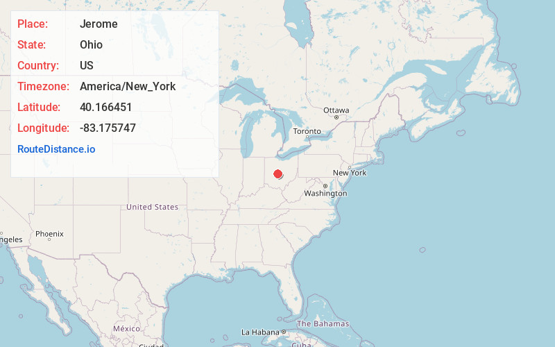
Full AddressJerome, OH 43064
-
Coordinates40.1664507, -83.1757466
-
LocationJerome , Ohio , US
-
TimezoneAmerica/New_York
-
Current Local Time6:49:49 AM America/New_YorkSaturday, June 21, 2025
-
Page Views0
About Jerome
Jerome is an unincorporated community in Jerome Township, Union County, Ohio, United States. It is located at the intersection of Jerome Road and Scioto Road, about 2 miles east of New California.
A former variant name of Jerome was Frankfort. Frankfort was laid out and platted in 1846.

Nearby Places
Found 10 places within 50 miles

Shawnee Hills
2.3 mi
3.7 km
Shawnee Hills, OH 43065
Get directions

Scioto Village
2.5 mi
4.0 km
Scioto Village, Concord Township, OH 43065
Get directions
Rathbone
2.6 mi
4.2 km
Rathbone, Concord Township, OH 43015
Get directions
New California
3.3 mi
5.3 km
New California, OH 43064
Get directions
Arnold
4.4 mi
7.1 km
Arnold, OH 43064
Get directions

Dublin
4.8 mi
7.7 km
Dublin, OH
Get directions
Watkins
4.9 mi
7.9 km
Watkins, Millcreek Township, OH 43040
Get directions

Powell
5.3 mi
8.5 km
Powell, OH 43065
Get directions
Hyatts
5.9 mi
9.5 km
Hyatts, OH 43015
Get directions
Amlin
6.2 mi
10.0 km
Amlin, OH 43016
Get directions
Location Links
Local Weather
Weather Information
Coming soon!
Location Map
Static map view of Jerome, Ohio
Browse Places by Distance
Places within specific distances from Jerome
Short Distances
Long Distances
Click any distance to see all places within that range from Jerome. Distances shown in miles (1 mile ≈ 1.61 kilometers).