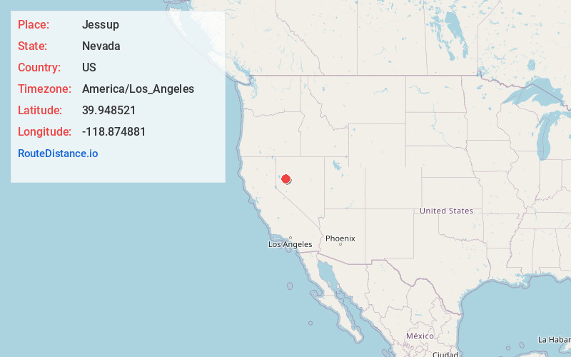
Distance to Jessup, Nevada

Calculating Your Route
Just a moment while we process your request...
Location Information
-
Full AddressJessup, NV
-
Coordinates39.9485208, -118.8748809
-
LocationNevada , US
-
TimezoneAmerica/Los_Angeles
-
Current Local Time4:56:05 PM America/Los_AngelesThursday, June 19, 2025
-
Page Views0

Nearby Places
Found 10 places within 50 miles

Huxley
7.7 mi
12.4 km
Huxley, NV
Get directions
Parran
11.5 mi
18.5 km
Parran, NV 89406
Get directions
Granite Point
18.6 mi
29.9 km
Granite Point, NV 89419
Get directions
Perth
22.7 mi
36.5 km
Perth, NV 89419
Get directions

Lovelock
26.6 mi
42.8 km
Lovelock, NV 89419
Get directions

Nixon
26.8 mi
43.1 km
Nixon, NV 89424
Get directions

Churchill County
28.6 mi
46.0 km
Churchill County, NV
Get directions
Kodak
30.8 mi
49.6 km
Kodak, NV 89419
Get directions

Fernley
30.9 mi
49.7 km
Fernley, NV
Get directions

Wadsworth
30.9 mi
49.7 km
Wadsworth, NV 89442
Get directions
Location Links
Local Weather
Weather Information
Coming soon!
Location Map
Static map view of Jessup, Nevada
Browse Places by Distance
Places within specific distances from Jessup
Short Distances
Long Distances
Click any distance to see all places within that range from Jessup. Distances shown in miles (1 mile ≈ 1.61 kilometers).