Distance to and from Jockey's Ridge State Park, North Carolina
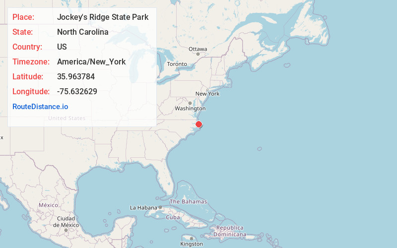
Jockey's Ridge State Park, 300 W Carolista Dr, Nags Head, NC 27959
Nags Head
North Carolina
US
America/New_York
Location Information
-
Full AddressJockey's Ridge State Park, 300 W Carolista Dr, Nags Head, NC 27959
-
Coordinates35.9637835, -75.6326293
-
Street300 W Carolista Dr
-
LocationNags Head , North Carolina , US
-
TimezoneAmerica/New_York
-
Current Local Time3:06:02 PM America/New_YorkSaturday, May 3, 2025
-
Page Views0
Directions to Nearest Cities
About Jockey's Ridge State Park
Home of the East Coast's tallest dune, this Outer Banks park offers hang gliding, hiking & more.


Nearby Places
Found 10 places within 50 miles

Nags Head
0.7 mi
1.1 km
Nags Head, NC 27959
Get directions

Mother Vineyard
3.7 mi
6.0 km
Mother Vineyard, NC 27954
Get directions

Manteo
4.5 mi
7.2 km
Manteo, NC 27954
Get directions
Fort Raleigh City
4.6 mi
7.4 km
Fort Raleigh City, NC 27954
Get directions
Croatan Shores
4.7 mi
7.6 km
Croatan Shores, Kill Devil Hills, NC 27948
Get directions

Colington Island
5.1 mi
8.2 km
Colington Island, North Carolina 27948
Get directions

Kill Devil Hills
5.2 mi
8.4 km
Kill Devil Hills, NC 27948
Get directions
Eagleton
5.9 mi
9.5 km
Eagleton, NC 27948
Get directions
Baumtown
7.9 mi
12.7 km
Baumtown, Wanchese, NC 27981
Get directions

Kitty Hawk
8.1 mi
13.0 km
Kitty Hawk, NC 27949
Get directions
Nags Head
0.7 mi
1.1 km
Nags Head, NC 27959
Mother Vineyard
3.7 mi
6.0 km
Mother Vineyard, NC 27954
Manteo
4.5 mi
7.2 km
Manteo, NC 27954
Fort Raleigh City
4.6 mi
7.4 km
Fort Raleigh City, NC 27954
Croatan Shores
4.7 mi
7.6 km
Croatan Shores, Kill Devil Hills, NC 27948
Colington Island
5.1 mi
8.2 km
Colington Island, North Carolina 27948
Kill Devil Hills
5.2 mi
8.4 km
Kill Devil Hills, NC 27948
Eagleton
5.9 mi
9.5 km
Eagleton, NC 27948
Baumtown
7.9 mi
12.7 km
Baumtown, Wanchese, NC 27981
Kitty Hawk
8.1 mi
13.0 km
Kitty Hawk, NC 27949
Location Links
Local Weather
Weather Information
Coming soon!
Location Map
Static map view of Jockey's Ridge State Park, North Carolina
Browse Places by Distance
Places within specific distances from Jockey's Ridge State Park
Short Distances
Long Distances
Click any distance to see all places within that range from Jockey's Ridge State Park. Distances shown in miles (1 mile ≈ 1.61 kilometers).