Distance to and from Johnsons, California
Johnsons, CA 95546
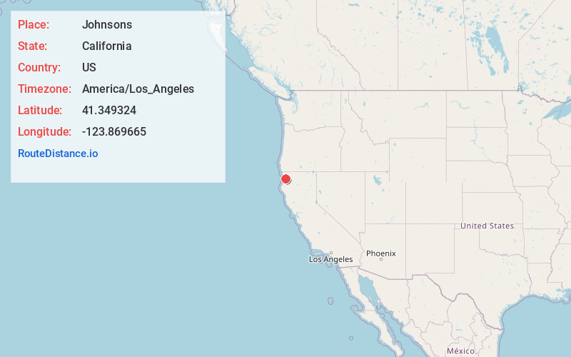
Johnsons
California
US
America/Los_Angeles
Location Information
-
Full AddressJohnsons, CA 95546
-
Coordinates41.3493244, -123.8696654
-
NeighborhoodJohnsons
-
LocationJohnsons , California , US
-
TimezoneAmerica/Los_Angeles
-
Current Local Time8:53:46 AM America/Los_AngelesTuesday, May 6, 2025
-
Page Views0
Directions to Nearest Cities
About Johnsons
Johnsons is an unincorporated community in Humboldt County, California. It is located on the Klamath River 14 miles northwest of Weitchpec, at an elevation of 180 feet.
Nearby Places
Found 10 places within 50 miles

Orick
10.8 mi
17.4 km
Orick, CA
Get directions

Weitchpec
14.1 mi
22.7 km
Weitchpec, CA
Get directions

Klamath
15.0 mi
24.1 km
Klamath, CA 95548
Get directions

Big Lagoon
19.1 mi
30.7 km
Big Lagoon, CA 95570
Get directions

Sue-meg State Park
21.5 mi
34.6 km
Sue-meg State Park, CA 95570
Get directions

Hoopa
23.0 mi
37.0 km
Hoopa, CA
Get directions

Trinidad
24.6 mi
39.6 km
Trinidad, CA 95570
Get directions

Fieldbrook
27.9 mi
44.9 km
Fieldbrook, CA 95519
Get directions

McKinleyville
30.3 mi
48.8 km
McKinleyville, CA 95519
Get directions

Willow Creek
30.9 mi
49.7 km
Willow Creek, CA 95573
Get directions
Orick
10.8 mi
17.4 km
Orick, CA
Weitchpec
14.1 mi
22.7 km
Weitchpec, CA
Klamath
15.0 mi
24.1 km
Klamath, CA 95548
Big Lagoon
19.1 mi
30.7 km
Big Lagoon, CA 95570
Sue-meg State Park
21.5 mi
34.6 km
Sue-meg State Park, CA 95570
Hoopa
23.0 mi
37.0 km
Hoopa, CA
Trinidad
24.6 mi
39.6 km
Trinidad, CA 95570
Fieldbrook
27.9 mi
44.9 km
Fieldbrook, CA 95519
McKinleyville
30.3 mi
48.8 km
McKinleyville, CA 95519
Willow Creek
30.9 mi
49.7 km
Willow Creek, CA 95573
Location Links
Local Weather
Weather Information
Coming soon!
Location Map
Static map view of Johnsons, California
Browse Places by Distance
Places within specific distances from Johnsons
Short Distances
Long Distances
Click any distance to see all places within that range from Johnsons. Distances shown in miles (1 mile ≈ 1.61 kilometers).