Distance to Weitchpec, California

Calculating Your Route
Just a moment while we process your request...
Location Information
-
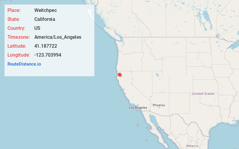
Full AddressWeitchpec, CA
-
Coordinates41.1877221, -123.703994
-
LocationWeitchpec , California , US
-
TimezoneAmerica/Los_Angeles
-
Current Local Time3:48:44 PM America/Los_AngelesMonday, June 23, 2025
-
Page Views0
About Weitchpec
Weitchpec is an unincorporated village and CDP within the Yurok reservation in Humboldt County, California, United States. It is located 35 miles northeast of Eureka, at an elevation of 361 feet. The ZIP Code is 95546.


Nearby Places
Found 10 places within 50 miles

Hoopa
9.7 mi
15.6 km
Hoopa, CA
Get directions

Willow Creek
17.6 mi
28.3 km
Willow Creek, CA 95573
Get directions

Orick
19.7 mi
31.7 km
Orick, CA
Get directions

Salyer
21.4 mi
34.4 km
Salyer, CA 95563
Get directions

Big Lagoon
22.4 mi
36.0 km
Big Lagoon, CA 95570
Get directions

Fieldbrook
23.1 mi
37.2 km
Fieldbrook, CA 95519
Get directions

Trinity Village
23.8 mi
38.3 km
Trinity Village, CA
Get directions

Trinidad
24.5 mi
39.4 km
Trinidad, CA 95570
Get directions

Blue Lake
25.6 mi
41.2 km
Blue Lake, CA
Get directions

McKinleyville
26.5 mi
42.6 km
McKinleyville, CA 95519
Get directions
Location Links
Local Weather
Weather Information
Coming soon!
Location Map
Static map view of Weitchpec, California
Browse Places by Distance
Places within specific distances from Weitchpec
Short Distances
Long Distances
Click any distance to see all places within that range from Weitchpec. Distances shown in miles (1 mile ≈ 1.61 kilometers).