Distance to Salyer, California

Calculating Your Route
Just a moment while we process your request...
Location Information
-
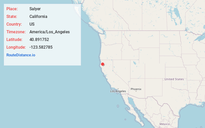
Full AddressSalyer, CA 95563
-
Coordinates40.8917517, -123.5827846
-
LocationSalyer , California , US
-
TimezoneAmerica/Los_Angeles
-
Current Local Time8:33:37 PM America/Los_AngelesThursday, June 19, 2025
-
Page Views0
About Salyer
Salyer is an unincorporated community and census-designated place in Trinity County, California. Salyer is located on State Highway 299, 52 miles east of Eureka and 93 miles west of Redding. Its population is 389 as of the 2020 census.


Nearby Places
Found 10 places within 50 miles

Trinity Village
3.6 mi
5.8 km
Trinity Village, CA
Get directions

Willow Creek
4.2 mi
6.8 km
Willow Creek, CA 95573
Get directions

Cedar Flat Creek
11.3 mi
18.2 km
Cedar Flat Creek, California 95527
Get directions

Hoopa
11.9 mi
19.2 km
Hoopa, CA
Get directions

Blue Lake
21.0 mi
33.8 km
Blue Lake, CA
Get directions

Fieldbrook
24.2 mi
38.9 km
Fieldbrook, CA 95519
Get directions

Arcata
26.2 mi
42.2 km
Arcata, CA
Get directions

McKinleyville
27.3 mi
43.9 km
McKinleyville, CA 95519
Get directions

Myrtletown
29.5 mi
47.5 km
Myrtletown, CA
Get directions

Junction City
29.8 mi
48.0 km
Junction City, CA
Get directions
Location Links
Local Weather
Weather Information
Coming soon!
Location Map
Static map view of Salyer, California
Browse Places by Distance
Places within specific distances from Salyer
Short Distances
Long Distances
Click any distance to see all places within that range from Salyer. Distances shown in miles (1 mile ≈ 1.61 kilometers).