Distance to Johnstonville, Georgia

Calculating Your Route
Just a moment while we process your request...
Location Information
-
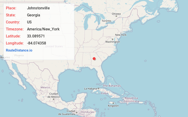
Full AddressJohnstonville, GA 30204
-
Coordinates33.0895706, -84.0743583
-
LocationGeorgia , US
-
TimezoneAmerica/New_York
-
Current Local Time8:49:11 AM America/New_YorkWednesday, June 18, 2025
-
Page Views0
About Johnstonville
Johnstonville is an unincorporated community in Lamar County, in the U.S. state of Georgia.
Nearby Places
Found 10 places within 50 miles

Goggins
1.4 mi
2.3 km
Goggins, GA 30204
Get directions

Barnesville
5.3 mi
8.5 km
Barnesville, GA 30204
Get directions
Aldora
6.4 mi
10.3 km
Aldora, GA 30204
Get directions

Milner
7.3 mi
11.7 km
Milner, GA
Get directions
Patillo
7.8 mi
12.6 km
Patillo, GA 30233
Get directions

Forsyth
8.8 mi
14.2 km
Forsyth, GA 31029
Get directions
Blount
9.1 mi
14.6 km
Blount, GA 31029
Get directions
Woodfin Mill
9.2 mi
14.8 km
Woodfin Mill, GA 30257
Get directions

Orchard Hill
10.4 mi
16.7 km
Orchard Hill, GA
Get directions
Cabaniss
12.1 mi
19.5 km
Cabaniss, GA 31029
Get directions
Location Links
Local Weather
Weather Information
Coming soon!
Location Map
Static map view of Johnstonville, Georgia
Browse Places by Distance
Places within specific distances from Johnstonville
Short Distances
Long Distances
Click any distance to see all places within that range from Johnstonville. Distances shown in miles (1 mile ≈ 1.61 kilometers).