Distance to Joint Base Andrews, Maryland

Calculating Your Route
Just a moment while we process your request...
Location Information
-
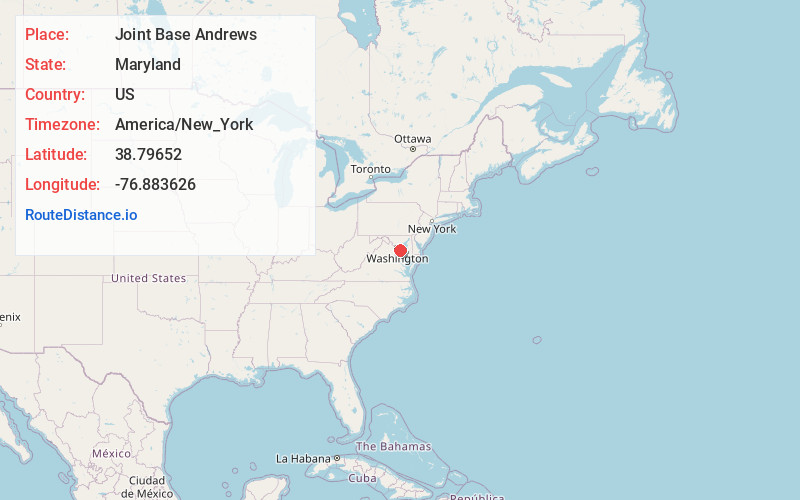
Full AddressJoint Base Andrews, MD
-
Coordinates38.7965203, -76.8836261
-
LocationJoint Base Andrews , Maryland , US
-
TimezoneAmerica/New_York
-
Current Local Time1:49:32 AM America/New_YorkWednesday, June 18, 2025
-
Website
-
Page Views0
About Joint Base Andrews
Joint Base Andrews is a United States military facility located in Prince George's County, Maryland. The facility is under the jurisdiction of the United States Air Force 316th Wing, Air Force District of Washington.


Nearby Places
Found 10 places within 50 miles

Camp Springs
1.3 mi
2.1 km
Camp Springs, MD
Get directions

Clinton
2.3 mi
3.7 km
Clinton, MD
Get directions
Melwood
2.4 mi
3.9 km
Melwood, MD 20772
Get directions
Rosaryville
3.1 mi
5.0 km
Rosaryville, MD
Get directions
Forestville
3.4 mi
5.5 km
Forestville, MD
Get directions

Temple Hills
3.5 mi
5.6 km
Temple Hills, MD
Get directions
Marlow Heights
3.9 mi
6.3 km
Marlow Heights, MD
Get directions

Suitland-Silver Hill
4.1 mi
6.6 km
Suitland-Silver Hill, MD
Get directions

District Heights
4.2 mi
6.8 km
District Heights, MD 20747
Get directions
Hillcrest Heights
4.8 mi
7.7 km
Hillcrest Heights, MD
Get directions
Location Links
Local Weather
Weather Information
Coming soon!
Location Map
Static map view of Joint Base Andrews, Maryland
Browse Places by Distance
Places within specific distances from Joint Base Andrews
Short Distances
Long Distances
Click any distance to see all places within that range from Joint Base Andrews. Distances shown in miles (1 mile ≈ 1.61 kilometers).