Distance to Kabetogama, Minnesota

Calculating Your Route
Just a moment while we process your request...
Location Information
-
Full AddressKabetogama, MN 56669
-
Coordinates48.4376947, -93.0273735
-
LocationKabetogama , Minnesota , US
-
TimezoneAmerica/Chicago
-
Current Local Time12:16:46 AM America/ChicagoThursday, June 19, 2025
-
Page Views0
About Kabetogama
Kabetogama is an unincorporated community in Kabetogama Township, Saint Louis County, Minnesota, United States, located within the Kabetogama State Forest.
The community is located 27 miles southeast of International Falls on Saint Louis County Roads 122 and 123. Kabetogama is located 49 miles north of Cook.


Nearby Places
Found 10 places within 50 miles

Ray
8.6 mi
13.8 km
Ray, MN 56669
Get directions

Ash Lake
16.0 mi
25.7 km
Ash Lake, MN 55771
Get directions

Ranier
19.1 mi
30.7 km
Ranier, MN 56649
Get directions
Nakoda
20.4 mi
32.8 km
Nakoda, MN 56649
Get directions
Littlefork
24.4 mi
39.3 km
Littlefork, MN 56653
Get directions

Cusson
24.7 mi
39.8 km
Cusson, MN 55771
Get directions

Crane Lake
27.4 mi
44.1 km
Crane Lake, MN 55725
Get directions

Orr
28.0 mi
45.1 km
Orr, MN 55771
Get directions
Laurel
30.1 mi
48.4 km
Laurel, MN 56649
Get directions
Wisner
31.1 mi
50.1 km
Wisner, MN 56653
Get directions
Location Links
Local Weather
Weather Information
Coming soon!
Location Map
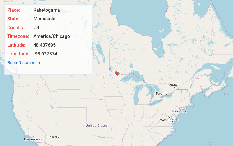
Static map view of Kabetogama, Minnesota
Browse Places by Distance
Places within specific distances from Kabetogama
Short Distances
Long Distances
Click any distance to see all places within that range from Kabetogama. Distances shown in miles (1 mile ≈ 1.61 kilometers).