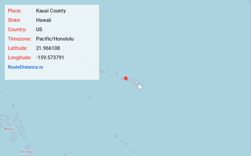
Distance to Kauai County, Hawaii

Calculating Your Route
Just a moment while we process your request...
Location Information
-
Full AddressKauai County, HI
-
Coordinates21.9661076, -159.5737912
-
LocationHawaii , US
-
TimezonePacific/Honolulu
-
Current Local Time11:07:00 PM Pacific/HonoluluTuesday, June 17, 2025
-
Page Views0
About Kauai County
Kauaʻi County, officially known as the County of Kauaʻi, is a county in the U.S. state of Hawaiʻi. It encompasses the islands of Kauaʻi, Niʻihau, Lehua, and Kaʻula. According to the 2020 Census, the population was 73,298. The county seat is Līhuʻe.


Nearby Places
Found 10 places within 50 miles

Hanapepe
3.4 mi
5.5 km
Hanapepe, HI
Get directions

Kalaheo
4.1 mi
6.6 km
Kalaheo, HI 96741
Get directions

Eleele
4.3 mi
6.9 km
Eleele, HI
Get directions

Kaumakani
4.5 mi
7.2 km
Kaumakani, HI
Get directions

Numila
4.5 mi
7.2 km
Numila, HI 96741
Get directions

Port Allen
4.6 mi
7.4 km
Port Allen, Eleele, HI 96705
Get directions
Lawai
5.0 mi
8.0 km
Lawai, HI
Get directions
Pakala Village
5.3 mi
8.5 km
Pakala Village, HI
Get directions
Kapalawai
5.5 mi
8.9 km
Kapalawai, Pakala Village, HI 96796
Get directions

Koloa
8.1 mi
13.0 km
Koloa, HI 96756
Get directions
Location Links
Local Weather
Weather Information
Coming soon!
Location Map
Static map view of Kauai County, Hawaii
Browse Places by Distance
Places within specific distances from Kauai County
Short Distances
Long Distances
Click any distance to see all places within that range from Kauai County. Distances shown in miles (1 mile ≈ 1.61 kilometers).