Distance to Kaylor, South Dakota

Calculating Your Route
Just a moment while we process your request...
Location Information
-
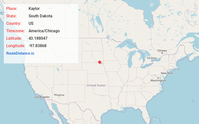
Full AddressKaylor, SD
-
Coordinates43.1880473, -97.8386801
-
LocationKaylor , South Dakota , US
-
TimezoneAmerica/Chicago
-
Current Local Time3:43:14 AM America/ChicagoWednesday, June 4, 2025
-
Page Views0
About Kaylor
Kaylor is a census-designated place in Hutchinson County, South Dakota, United States. The population was 30 at the 2020 census.
The community's name is a corruption of Taylor, the name of a local rancher.
Nearby Places
Found 10 places within 50 miles

Scotland
6.7 mi
10.8 km
Scotland, SD 57059
Get directions

Tripp
6.9 mi
11.1 km
Tripp, SD 57376
Get directions

Olivet
9.0 mi
14.5 km
Olivet, SD 57052
Get directions

Tyndall
13.5 mi
21.7 km
Tyndall, SD 57066
Get directions

Menno
13.6 mi
21.9 km
Menno, SD 57045
Get directions
Tschetter Colony
14.7 mi
23.7 km
Tschetter Colony, SD 57052
Get directions

Lesterville
16.0 mi
25.7 km
Lesterville, SD 57040
Get directions

Parkston
16.3 mi
26.2 km
Parkston, SD 57366
Get directions
Milltown
16.4 mi
26.4 km
Milltown, SD 57366
Get directions

Avon
16.9 mi
27.2 km
Avon, SD 57315
Get directions
Location Links
Local Weather
Weather Information
Coming soon!
Location Map
Static map view of Kaylor, South Dakota
Browse Places by Distance
Places within specific distances from Kaylor
Short Distances
Long Distances
Click any distance to see all places within that range from Kaylor. Distances shown in miles (1 mile ≈ 1.61 kilometers).