Distance to Keener Cave, Missouri

Calculating Your Route
Just a moment while we process your request...
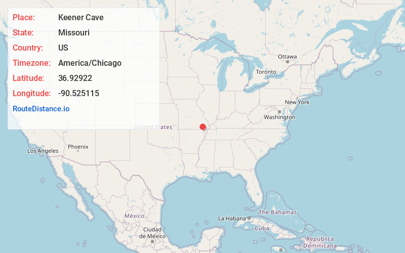
Location Information
-
Full AddressKeener Cave, Williams Township, MO 63967
-
Coordinates36.9292197, -90.5251148
-
LocationWilliams Township , Missouri , US
-
TimezoneAmerica/Chicago
-
Current Local Time9:53:22 PM America/ChicagoFriday, May 23, 2025
-
Page Views0


Nearby Places
Found 10 places within 50 miles

Keeners
1.2 mi
1.9 km
Keeners, Black River Township, MO 63967
Get directions
Williamsville
3.2 mi
5.1 km
Williamsville, MO 63901
Get directions
Wilby
6.2 mi
10.0 km
Wilby, MO 63967
Get directions
Holliday Landing
9.3 mi
15.0 km
Holliday Landing, Black River Township, MO 63944
Get directions
Milltown
11.4 mi
18.3 km
Milltown, Epps Township, MO 63901
Get directions
Cedar Valley
11.9 mi
19.2 km
Cedar Valley, Poplar Bluff, MO 63901
Get directions

Ellsinore
12.2 mi
19.6 km
Ellsinore, MO 63937
Get directions
Mill Spring
12.7 mi
20.4 km
Mill Spring, MO 63952
Get directions

Wappapello
13.9 mi
22.4 km
Wappapello, MO
Get directions

Poplar Bluff
14.0 mi
22.5 km
Poplar Bluff, MO 63901
Get directions
Location Links
Local Weather
Weather Information
Coming soon!
Location Map
Static map view of Keener Cave, Missouri
Browse Places by Distance
Places within specific distances from Keener Cave
Short Distances
Long Distances
Click any distance to see all places within that range from Keener Cave. Distances shown in miles (1 mile ≈ 1.61 kilometers).