Distance to Keltner, Missouri

Calculating Your Route
Just a moment while we process your request...
Location Information
-
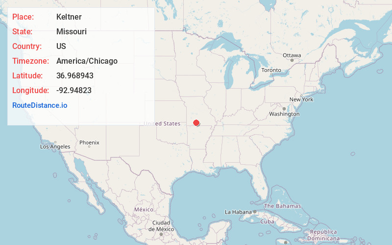
Full AddressKeltner, Lead Hill Township, MO 65720
-
Coordinates36.968943, -92.9482304
-
LocationLead Hill Township , Missouri , US
-
TimezoneAmerica/Chicago
-
Current Local Time2:48:28 PM America/ChicagoTuesday, June 24, 2025
-
Page Views0
About Keltner
Keltner, Missouri, is an unincorporated community in eastern Christian County, Missouri United States. It is located approximately seventeen miles east of Ozark on Keltner Road, just off Missouri Supplemental Route T. Keltner lies in the Swan Creek Valley within the Mark Twain National Forest.
Nearby Places
Found 10 places within 50 miles

Elkhead
3.2 mi
5.1 km
Elkhead, MO 65753
Get directions

Bruner
3.8 mi
6.1 km
Bruner, MO
Get directions
Abadyl
4.8 mi
7.7 km
Abadyl, MO 65620
Get directions

Oldfield
5.1 mi
8.2 km
Oldfield, MO 65753
Get directions
Old Merritt
5.8 mi
9.3 km
Old Merritt, Buchanan Township, MO 65629
Get directions
Merritt
6.5 mi
10.5 km
Merritt, Buchanan Township, MO 65629
Get directions

Sparta
7.7 mi
12.4 km
Sparta, MO 65753
Get directions
Red Bank
7.9 mi
12.7 km
Red Bank, MO 65608
Get directions
Arden
8.0 mi
12.9 km
Arden, MO 65746
Get directions
Dogwood
8.0 mi
12.9 km
Dogwood, Lincoln Township, MO 65746
Get directions
Location Links
Local Weather
Weather Information
Coming soon!
Location Map
Static map view of Keltner, Missouri
Browse Places by Distance
Places within specific distances from Keltner
Short Distances
Long Distances
Click any distance to see all places within that range from Keltner. Distances shown in miles (1 mile ≈ 1.61 kilometers).