Distance to Oldfield, Missouri

Calculating Your Route
Just a moment while we process your request...
Location Information
-
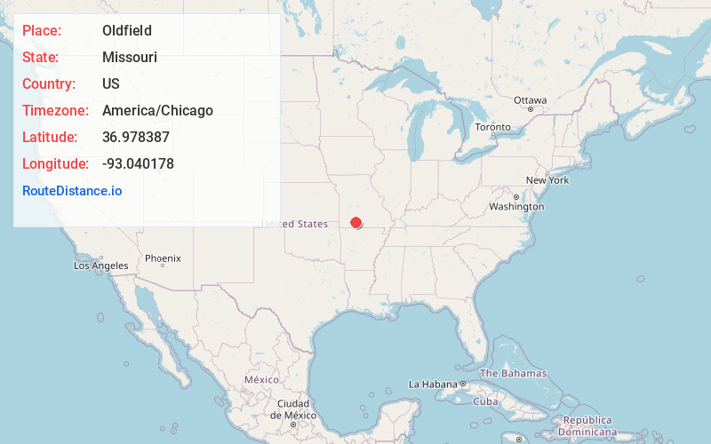
Full AddressOldfield, MO 65753
-
Coordinates36.9783873, -93.0401775
-
LocationOldfield , Missouri , US
-
TimezoneAmerica/Chicago
-
Current Local Time10:22:17 PM America/ChicagoThursday, June 19, 2025
-
Page Views0
About Oldfield
Oldfield is an unincorporated community in Christian County, Missouri, United States. It is located 2.6 miles southeast of Sparta at the intersection of Route 125 and Route T. Chadwick lies 3.2 miles to the southeast on Route 125. The elevation is 1,381 feet.

Nearby Places
Found 10 places within 50 miles

Sparta
2.8 mi
4.5 km
Sparta, MO 65753
Get directions

Bruner
3.9 mi
6.3 km
Bruner, MO
Get directions

Shady Grove
5.3 mi
8.5 km
Shady Grove, MO 65753
Get directions
Elkhead
6.5 mi
10.5 km
Elkhead, MO 65753
Get directions
Abadyl
6.6 mi
10.6 km
Abadyl, MO 65620
Get directions

Linden
7.0 mi
11.3 km
Linden, MO 65742
Get directions

Ozark
9.6 mi
15.4 km
Ozark, MO
Get directions

Rogersville
9.6 mi
15.4 km
Rogersville, MO 65742
Get directions
Garrison
9.7 mi
15.6 km
Garrison, MO 65629
Get directions
Old Merritt
10.0 mi
16.1 km
Old Merritt, Buchanan Township, MO 65629
Get directions
Location Links
Local Weather
Weather Information
Coming soon!
Location Map
Static map view of Oldfield, Missouri
Browse Places by Distance
Places within specific distances from Oldfield
Short Distances
Long Distances
Click any distance to see all places within that range from Oldfield. Distances shown in miles (1 mile ≈ 1.61 kilometers).