Distance to Kendleton, Texas

Calculating Your Route
Just a moment while we process your request...
Location Information
-
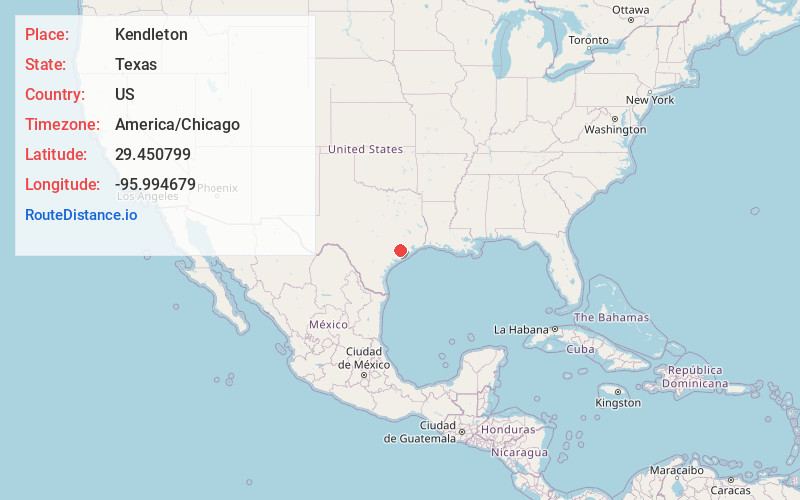
Full AddressKendleton, TX
-
Coordinates29.4507991, -95.9946785
-
LocationKendleton , Texas , US
-
TimezoneAmerica/Chicago
-
Current Local Time4:40:49 PM America/ChicagoFriday, June 20, 2025
-
Page Views0
About Kendleton
Kendleton is a city in western Fort Bend County, Texas, United States, located southwest of Sugar Land. It was established by emancipated slaves after the Civil War. The population was 343 at the 2020 census. As of 2011, Darryl Humphrey was the mayor of the city.


Nearby Places
Found 10 places within 50 miles

Beasley
5.6 mi
9.0 km
Beasley, TX 77417
Get directions

East Bernard
7.2 mi
11.6 km
East Bernard, TX 77435
Get directions

Needville
10.1 mi
16.3 km
Needville, TX 77461
Get directions

Orchard
10.7 mi
17.2 km
Orchard, TX
Get directions

Pleak
11.6 mi
18.7 km
Pleak, TX
Get directions

Wharton
11.6 mi
18.7 km
Wharton, TX 77488
Get directions
Fairchilds
13.0 mi
20.9 km
Fairchilds, TX
Get directions

Wallis
13.2 mi
21.2 km
Wallis, TX 77485
Get directions

Rosenberg
13.4 mi
21.6 km
Rosenberg, TX
Get directions

Boling-Iago
13.7 mi
22.0 km
Boling-Iago, TX 77420
Get directions
Location Links
Local Weather
Weather Information
Coming soon!
Location Map
Static map view of Kendleton, Texas
Browse Places by Distance
Places within specific distances from Kendleton
Short Distances
Long Distances
Click any distance to see all places within that range from Kendleton. Distances shown in miles (1 mile ≈ 1.61 kilometers).