Distance to Orchard, Texas

Calculating Your Route
Just a moment while we process your request...
Location Information
-
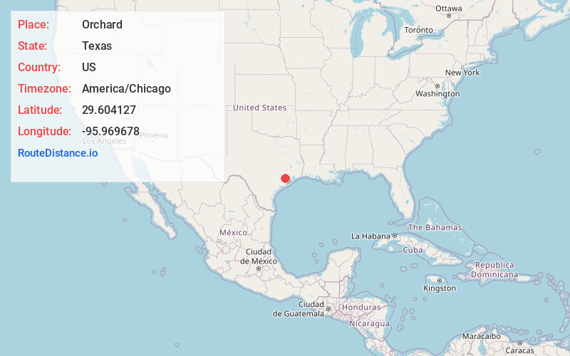
Full AddressOrchard, TX
-
Coordinates29.6041269, -95.9696778
-
LocationOrchard , Texas , US
-
TimezoneAmerica/Chicago
-
Current Local Time5:53:42 AM America/ChicagoSaturday, June 21, 2025
-
Page Views0
About Orchard
Orchard is a city in western Fort Bend County, Texas, United States, within the Houston–Sugar Land–Baytown metropolitan area. The community is located along State Highway 36 and the BNSF Railway between Rosenberg in Fort Bend County and Wallis in Austin County.


Nearby Places
Found 10 places within 50 miles

Simonton
5.2 mi
8.4 km
Simonton, TX
Get directions

Wallis
6.0 mi
9.7 km
Wallis, TX 77485
Get directions

Fulshear
7.3 mi
11.7 km
Fulshear, TX
Get directions

East Bernard
7.9 mi
12.7 km
East Bernard, TX 77435
Get directions

Beasley
8.0 mi
12.9 km
Beasley, TX 77417
Get directions

Rosenberg
10.2 mi
16.4 km
Rosenberg, TX
Get directions

Cumings
10.6 mi
17.1 km
Cumings, TX
Get directions
Brazos Country
11.4 mi
18.3 km
Brazos Country, TX 77474
Get directions
Pleak
12.6 mi
20.3 km
Pleak, TX
Get directions

Brookshire
12.6 mi
20.3 km
Brookshire, TX 77423
Get directions
Location Links
Local Weather
Weather Information
Coming soon!
Location Map
Static map view of Orchard, Texas
Browse Places by Distance
Places within specific distances from Orchard
Short Distances
Long Distances
Click any distance to see all places within that range from Orchard. Distances shown in miles (1 mile ≈ 1.61 kilometers).