Distance to Kings Mountain, Kentucky

Calculating Your Route
Just a moment while we process your request...
Location Information
-
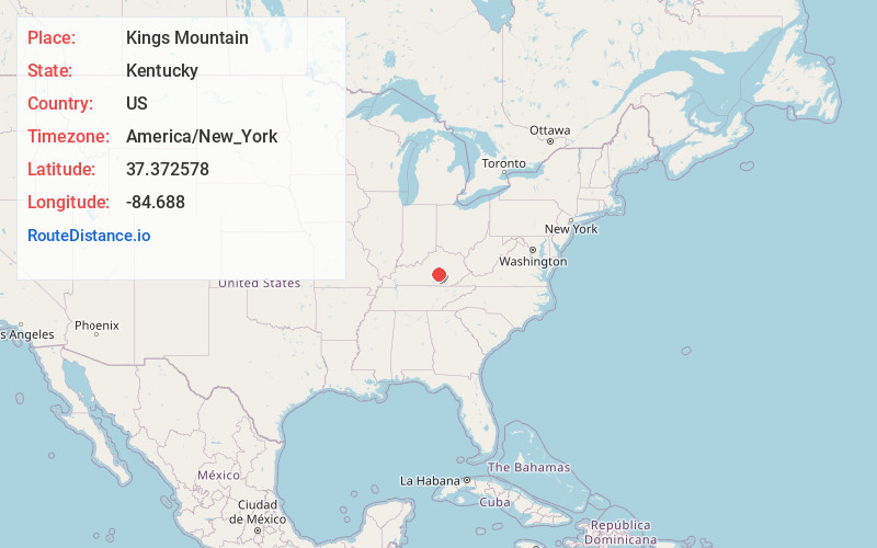
Full AddressKings Mountain, KY 40442
-
Coordinates37.3725779, -84.6880003
-
LocationKings Mountain , Kentucky , US
-
TimezoneAmerica/New_York
-
Current Local Time10:54:17 PM America/New_YorkWednesday, June 18, 2025
-
Page Views0
About Kings Mountain
Kings Mountain is an unincorporated community in southern Kentucky. Kings Mountain is located in Lincoln County along Kentucky Route 501 and the Norfolk Southern Railway, 11 miles south of Stanford. Kings Mountain has a post office with ZIP code 40442.

Nearby Places
Found 10 places within 50 miles

Duncan
2.4 mi
3.9 km
Duncan, KY 42541
Get directions

Waynesburg
2.9 mi
4.7 km
Waynesburg, KY 40489
Get directions
Walltown
4.2 mi
6.8 km
Walltown, KY 40442
Get directions
Jumbo
5.9 mi
9.5 km
Jumbo, KY 40484
Get directions
Ottenheim
6.2 mi
10.0 km
Ottenheim, KY 40489
Get directions
Goochtown
6.6 mi
10.6 km
Goochtown, KY 42567
Get directions

Eubank
6.7 mi
10.8 km
Eubank, KY 42567
Get directions
Mt Salem
6.9 mi
11.1 km
Mt Salem, KY 40437
Get directions
Halls Gap
6.9 mi
11.1 km
Halls Gap, KY 40489
Get directions
McKinney
6.9 mi
11.1 km
McKinney, KY
Get directions
Location Links
Local Weather
Weather Information
Coming soon!
Location Map
Static map view of Kings Mountain, Kentucky
Browse Places by Distance
Places within specific distances from Kings Mountain
Short Distances
Long Distances
Click any distance to see all places within that range from Kings Mountain. Distances shown in miles (1 mile ≈ 1.61 kilometers).