Distance to Kodak, Kentucky

Calculating Your Route
Just a moment while we process your request...
Location Information
-
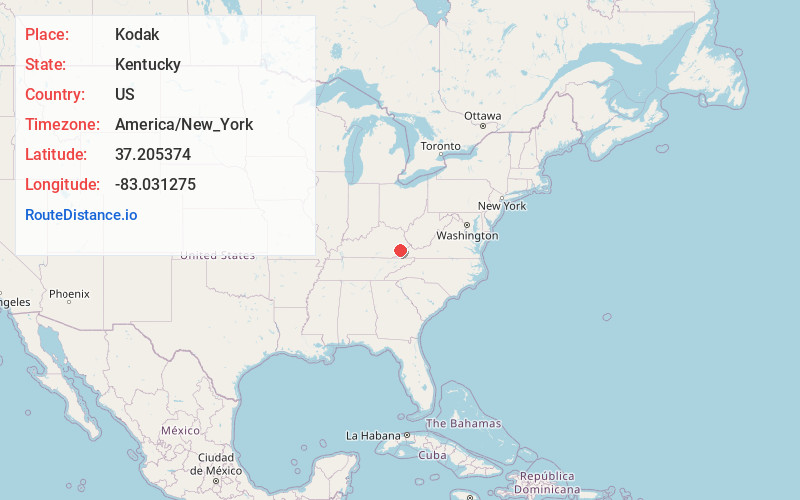
Full AddressKodak, KY 41773
-
Coordinates37.2053743, -83.0312754
-
LocationKodak , Kentucky , US
-
TimezoneAmerica/New_York
-
Current Local Time9:22:36 AM America/New_YorkSaturday, June 21, 2025
-
Page Views0
About Kodak
Kodak is an unincorporated community and coal town in Perry County, Kentucky, United States. Their post office is closed.
Nearby Places
Found 10 places within 50 miles

Sassafras
1.7 mi
2.7 km
Sassafras, KY 41759
Get directions
Vicco
1.8 mi
2.9 km
Vicco, KY
Get directions
Wiscoal
2.6 mi
4.2 km
Wiscoal, KY 41701
Get directions
Allock
2.8 mi
4.5 km
Allock, KY 41773
Get directions
Scuddy
2.9 mi
4.7 km
Scuddy, KY 41760
Get directions
Carcassonne
3.0 mi
4.8 km
Carcassonne, KY 41804
Get directions
Defiance
3.3 mi
5.3 km
Defiance, KY 41760
Get directions
Happy
3.6 mi
5.8 km
Happy, KY 41746
Get directions
Fusonia
3.9 mi
6.3 km
Fusonia, KY 41774
Get directions
Carbon Glow
4.6 mi
7.4 km
Carbon Glow, KY 41832
Get directions
Location Links
Local Weather
Weather Information
Coming soon!
Location Map
Static map view of Kodak, Kentucky
Browse Places by Distance
Places within specific distances from Kodak
Short Distances
Long Distances
Click any distance to see all places within that range from Kodak. Distances shown in miles (1 mile ≈ 1.61 kilometers).