Distance to Kolomoki Mounds State Park, Georgia

Calculating Your Route
Just a moment while we process your request...
Location Information
-
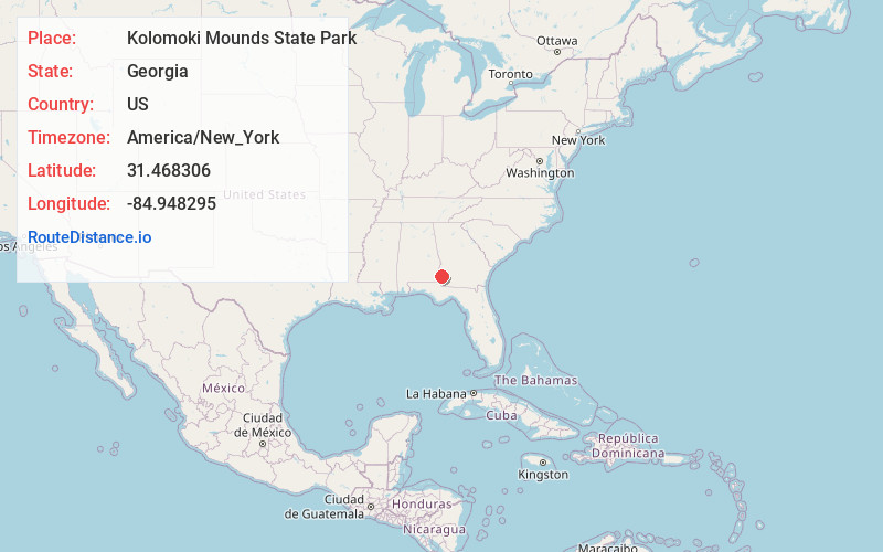
Full AddressKolomoki Mounds State Park, 205 Indian Mounds Rd, Blakely, GA 39823
-
Coordinates31.4683063, -84.9482954
-
Street205 Indian Mounds Rd
-
LocationBlakely , Georgia , US
-
TimezoneAmerica/New_York
-
Current Local Time12:07:18 AM America/New_YorkFriday, June 13, 2025
-
Website
-
Page Views0
About Kolomoki Mounds State Park
Museum on an excavated Woodland Indian site, with archaeological items & a film about its history.


Nearby Places
Found 10 places within 50 miles

Bluffton
6.1 mi
9.8 km
Bluffton, GA 39824
Get directions

Blakely
6.3 mi
10.1 km
Blakely, GA 39823
Get directions

Bancroft
7.4 mi
11.9 km
Bancroft, GA 39823
Get directions
Hayes
7.7 mi
12.4 km
Hayes, AL 36373
Get directions
Jeff
10.2 mi
16.4 km
Jeff, GA 39846
Get directions

Fort Gaines
11.3 mi
18.2 km
Fort Gaines, GA 39851
Get directions
Haleburg
11.9 mi
19.2 km
Haleburg, AL 36319
Get directions

Arlington
13.3 mi
21.4 km
Arlington, GA 39813
Get directions

Edison
13.8 mi
22.2 km
Edison, GA 39846
Get directions

Coleman
14.6 mi
23.5 km
Coleman, GA 39836
Get directions
Location Links
Local Weather
Weather Information
Coming soon!
Location Map
Static map view of Kolomoki Mounds State Park, Georgia
Browse Places by Distance
Places within specific distances from Kolomoki Mounds State Park
Short Distances
Long Distances
Click any distance to see all places within that range from Kolomoki Mounds State Park. Distances shown in miles (1 mile ≈ 1.61 kilometers).