Distance to Kraft, Kentucky

Calculating Your Route
Just a moment while we process your request...
Location Information
-
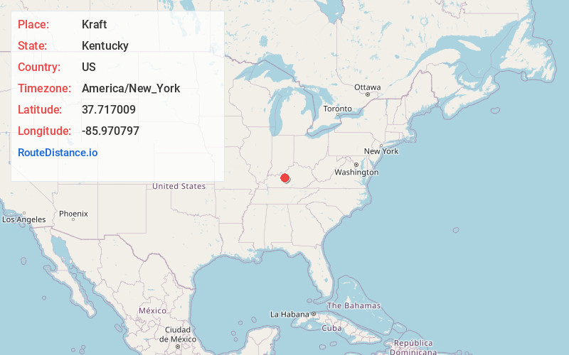
Full AddressKraft, KY 40162
-
Coordinates37.7170089, -85.9707966
-
LocationKentucky , US
-
TimezoneAmerica/New_York
-
Current Local Time5:46:11 PM America/New_YorkFriday, June 6, 2025
-
Page Views0
Nearby Places
Found 10 places within 50 miles

St John
1.3 mi
2.1 km
St John, KY 42701
Get directions

Rineyville
2.2 mi
3.5 km
Rineyville, KY
Get directions

Cecilia
3.6 mi
5.8 km
Cecilia, KY 42724
Get directions
Franklin Cross Roads
4.0 mi
6.4 km
Franklin Cross Roads, KY 42724
Get directions

Elizabethtown
5.5 mi
8.9 km
Elizabethtown, KY
Get directions
Gaithers
5.7 mi
9.2 km
Gaithers, KY 42701
Get directions
Hansbrough
5.8 mi
9.3 km
Hansbrough, KY 42724
Get directions

Vine Grove
6.5 mi
10.5 km
Vine Grove, KY
Get directions
Howe Valley
6.7 mi
10.8 km
Howe Valley, KY 42724
Get directions
Crest
7.3 mi
11.7 km
Crest, KY 42701
Get directions
Location Links
Local Weather
Weather Information
Coming soon!
Location Map
Static map view of Kraft, Kentucky
Browse Places by Distance
Places within specific distances from Kraft
Short Distances
Long Distances
Click any distance to see all places within that range from Kraft. Distances shown in miles (1 mile ≈ 1.61 kilometers).