Distance to La Joya, New Mexico

Calculating Your Route
Just a moment while we process your request...
Location Information
-
Full AddressLa Joya, NM 87028
-
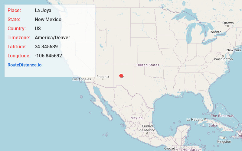
Coordinates34.3456394, -106.8456918
-
LocationLa Joya , New Mexico , US
-
TimezoneAmerica/Denver
-
Current Local Time2:52:01 PM America/DenverWednesday, June 18, 2025
-
Page Views0
About La Joya
La Joya is a census-designated place in Socorro County, New Mexico, United States. The community is located on the east bank of the Rio Grande, 20 miles north of Socorro. Its population was 82 as of the 2010 census. La Joya has a post office with ZIP code 87028, which opened on February 28, 1883.


Nearby Places
Found 10 places within 50 miles

Abeytas
8.3 mi
13.4 km
Abeytas, NM 87006
Get directions

Polvadera
10.7 mi
17.2 km
Polvadera, NM
Get directions

Lemitar
13.4 mi
21.6 km
Lemitar, NM 87823
Get directions
Casa Colorada
16.7 mi
26.9 km
Casa Colorada, NM 87002
Get directions

Jarales
19.1 mi
30.7 km
Jarales, NM
Get directions

Socorro
20.0 mi
32.2 km
Socorro, NM 87801
Get directions

Rio Communities
22.0 mi
35.4 km
Rio Communities, NM 87002
Get directions
Adelino
25.9 mi
41.7 km
Adelino, NM
Get directions
Los Chavez
27.5 mi
44.3 km
Los Chavez, NM
Get directions

Magdalena
27.7 mi
44.6 km
Magdalena, NM 87825
Get directions
Location Links
Local Weather
Weather Information
Coming soon!
Location Map
Static map view of La Joya, New Mexico
Browse Places by Distance
Places within specific distances from La Joya
Short Distances
Long Distances
Click any distance to see all places within that range from La Joya. Distances shown in miles (1 mile ≈ 1.61 kilometers).