Distance to La Palma, Arizona

Calculating Your Route
Just a moment while we process your request...
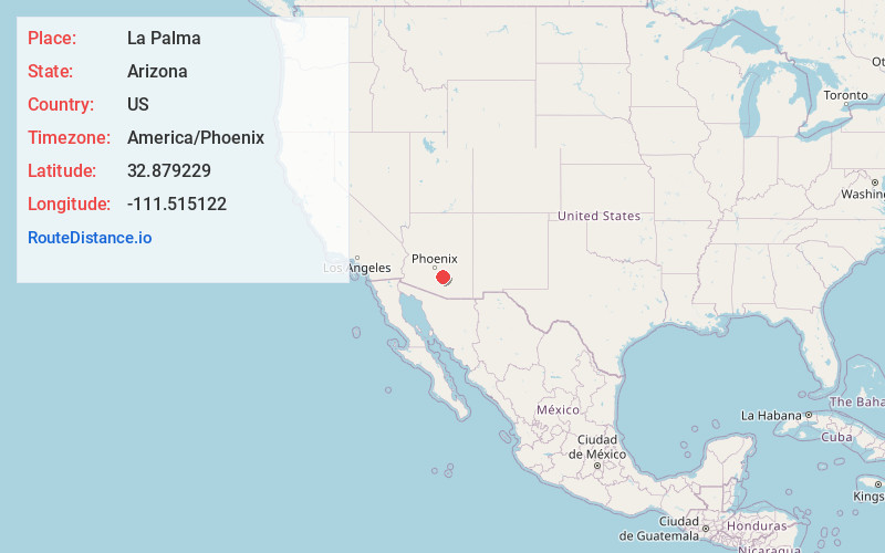
Location Information
-
Full AddressLa Palma, AZ 85128
-
Coordinates32.8792291, -111.5151224
-
LocationArizona , US
-
TimezoneAmerica/Phoenix
-
Current Local Time4:16:51 PM America/PhoenixWednesday, June 18, 2025
-
Page Views0
About La Palma
La Palma was established in 1927 and is a populated place situated in Pinal County, Arizona, United States. It has an estimated elevation of 1,470 feet above sea level. The name is Spanish for "Palm".
Nearby Places
Found 10 places within 50 miles

Coolidge
6.8 mi
10.9 km
Coolidge, AZ
Get directions

Eloy
8.8 mi
14.2 km
Eloy, AZ
Get directions

Blackwater
11.2 mi
18.0 km
Blackwater, AZ
Get directions

Picacho
11.5 mi
18.5 km
Picacho, AZ
Get directions

Arizola
11.7 mi
18.8 km
Arizola, AZ 85122
Get directions

Arizona City
12.4 mi
20.0 km
Arizona City, AZ 85123
Get directions
Cactus Forest
12.6 mi
20.3 km
Cactus Forest, AZ 85132
Get directions

Florence
12.9 mi
20.8 km
Florence, AZ
Get directions

Casa Grande
15.1 mi
24.3 km
Casa Grande, AZ
Get directions
Sacaton Flats
15.9 mi
25.6 km
Sacaton Flats, AZ
Get directions
Location Links
Local Weather
Weather Information
Coming soon!
Location Map
Static map view of La Palma, Arizona
Browse Places by Distance
Places within specific distances from La Palma
Short Distances
Long Distances
Click any distance to see all places within that range from La Palma. Distances shown in miles (1 mile ≈ 1.61 kilometers).