Distance to Ladysmith, Virginia

Calculating Your Route
Just a moment while we process your request...
Location Information
-
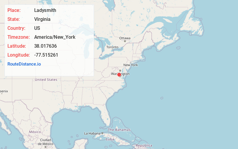
Full AddressLadysmith, VA 22546
-
Coordinates38.0176363, -77.5152606
-
LocationLadysmith , Virginia , US
-
TimezoneAmerica/New_York
-
Current Local Time2:34:59 AM America/New_YorkWednesday, June 25, 2025
-
Page Views0
About Ladysmith
Ladysmith is an unincorporated community in Caroline County, in the U.S. state of Virginia. It is located along US 1 and SR 639, northwest of Ruther Glen and 1 mile west of I-95 exit 110. The community contains attractions such as the Pendleton Golf Club, which is addressed as being in Ruther Glen.


Nearby Places
Found 10 places within 50 miles

Lake Caroline
1.9 mi
3.1 km
Lake Caroline, VA 22546
Get directions
Golansville
2.7 mi
4.3 km
Golansville, VA 22546
Get directions
Blantons
3.5 mi
5.6 km
Blantons, VA 22580
Get directions
Chilesburg
4.4 mi
7.1 km
Chilesburg, VA 22546
Get directions
Welchs
5.3 mi
8.5 km
Welchs, VA 22580
Get directions
Poplar
5.6 mi
9.0 km
Poplar, VA 22514
Get directions
Marye
5.7 mi
9.2 km
Marye, VA 22551
Get directions

Mattaponi District
6.0 mi
9.7 km
Mattaponi District, VA
Get directions
Colemans Mill
6.8 mi
10.9 km
Colemans Mill, VA 22580
Get directions

Partlow
6.9 mi
11.1 km
Partlow, VA 22534
Get directions
Location Links
Local Weather
Weather Information
Coming soon!
Location Map
Static map view of Ladysmith, Virginia
Browse Places by Distance
Places within specific distances from Ladysmith
Short Distances
Long Distances
Click any distance to see all places within that range from Ladysmith. Distances shown in miles (1 mile ≈ 1.61 kilometers).