Distance to Lafourche Parish, Louisiana

Calculating Your Route
Just a moment while we process your request...
Location Information
-
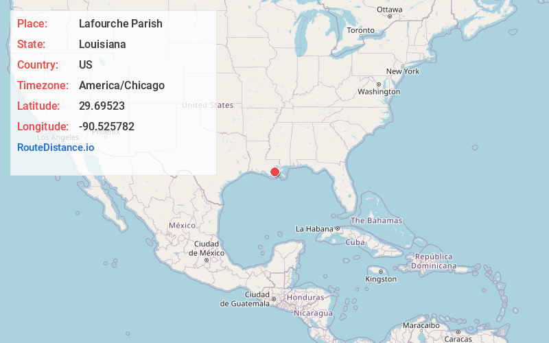
Full AddressLafourche Parish, LA
-
Coordinates29.6952295, -90.5257823
-
LocationLouisiana , US
-
TimezoneAmerica/Chicago
-
Current Local Time9:03:16 AM America/ChicagoSaturday, June 28, 2025
-
Page Views0
About Lafourche Parish
Lafourche Parish is a parish located in the south of the U.S. state of Louisiana. The parish seat is Thibodaux. The parish was formed in 1807. It was originally the northern part of Lafourche Interior Parish, which consisted of the present parishes of Lafourche and Terrebonne.


Nearby Places
Found 10 places within 50 miles

Mathews
1.4 mi
2.3 km
Mathews, LA
Get directions
Clotilda
1.7 mi
2.7 km
Clotilda, LA 70374
Get directions
McLeod
3.4 mi
5.5 km
McLeod, Lockport, LA 70374
Get directions

Lockport
3.5 mi
5.6 km
Lockport, LA 70374
Get directions

Gheens
3.9 mi
6.3 km
Gheens, LA 70355
Get directions

Raceland
4.9 mi
7.9 km
Raceland, LA 70394
Get directions
Bowie
5.4 mi
8.7 km
Bowie, LA 70394
Get directions
Godchaux
5.7 mi
9.2 km
Godchaux, Raceland, LA 70394
Get directions
Norah
6.0 mi
9.7 km
Norah, LA 70374
Get directions
Lewistown
6.2 mi
10.0 km
Lewistown, Raceland, LA 70394
Get directions
Location Links
Local Weather
Weather Information
Coming soon!
Location Map
Static map view of Lafourche Parish, Louisiana
Browse Places by Distance
Places within specific distances from Lafourche Parish
Short Distances
Long Distances
Click any distance to see all places within that range from Lafourche Parish. Distances shown in miles (1 mile ≈ 1.61 kilometers).